FireSat Satellites Spot Tiny Garage-Size Fires From Space Before Ground Teams See Them
Three new FireSat satellites reach orbit to detect wildfires earlier and at finer scale, boosting early warning capabilities.
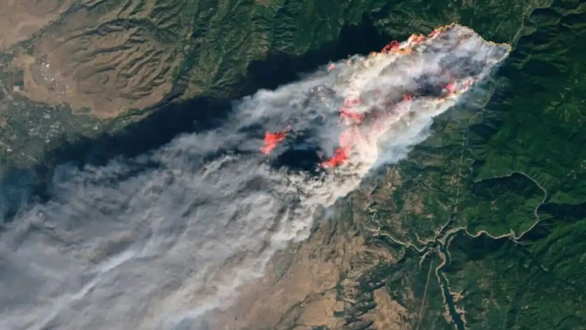
As the United States entered one of its most intense wildfire seasons on record, more than 1.2 million hectares (about 3 million acres) had already burned by the end of June, a figure that represents 157 percent of the average for the previous decade, according to the National Interagency Fire Center.
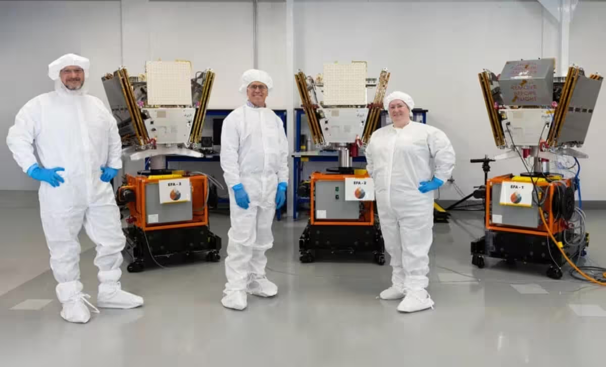
In response, Muon Space and the nonprofit Earth Fire Alliance lifted three operational satellites into orbit from Vandenberg Space Force Base aboard SpaceX’s Transporter‑17 mission. The trio marks the inaugural phase of a planned constellation of more than 50 dedicated wildfire‑monitoring satellites.
Current satellite constellations can spot many large blazes, yet they were not engineered specifically for fire response. Smaller ignitions often evade detection when smoke, cloud cover, or reflected sunlight interfere with imaging, leaving incident commanders with limited early‑stage data.
Infrared Imaging and AI Enable Detection of Tiny Ignitions
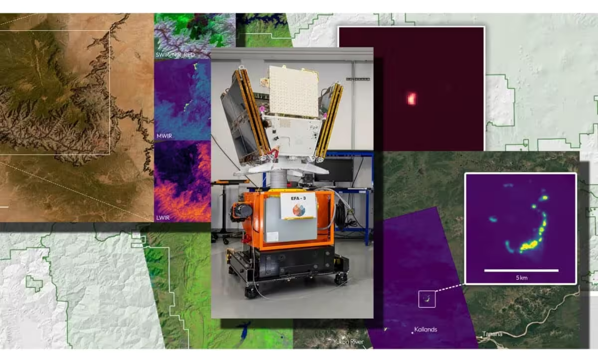
Each FireSat platform carries a six‑channel infrared sensor suite designed by Muon Space. The instrument can identify heat signatures as small as a 5 × 5 meter (approximately 16 × 16 foot) patch—roughly the footprint of a modest garage.
The suite parses distinct infrared bands: short‑wave infrared penetrates smoke, mid‑wave infrared captures both high‑intensity flames and low‑intensity smoldering, long‑wave infrared gauges ground temperature, and near‑infrared tracks vegetation response as fire spreads.
Artificial‑intelligence algorithms, co‑developed with Google Research, compare new observations with historical imagery, weather models, and local terrain data. This layered analysis helps filter out false positives, such as glare from metal roofs, while confirming genuine fire events.
The technology proved its worth during a March 2025 prototype launch, when the test satellite detected a modest roadside grass fire in Oregon that evaded detection by existing satellite networks.
“FireSat has already demonstrated that a satellite purpose‑built for wildfire can spot fires earlier and smaller than was previously possible,” said Jonny Dyer, chief executive of Muon Space. “With these satellites, we turn that proof into an operational service—the start of dedicated coverage that fire managers can count on day after day.”
Rethinking Global Fire Monitoring
The initiative emerged after fire officials highlighted a chronic lack of granular data on ignition points, spread rates, and fire evolution. “We realized there was a big gap in the understanding of fire,” explained Brian Collins, executive director of Earth Fire Alliance, referencing a recent Fast Company profile. “The biggest theme that kept coming up was better data to truly understand the scope and scale of wildfire across the planet.”
The urgency of improved monitoring is underscored by recent megafires: the Ranger Road blaze in February scorched nearly 121 000 hectares across Oklahoma and Kansas, while the combined Morrill and Cottonwood fires in March devastated more than 312 000 hectares in Nebraska.
The three operational FireSat units are slated to begin systematic observations over the United States, Australia, and Portugal before the close of 2026. As the constellation expands, Earth Fire Alliance and Muon Space aim to achieve a global revisit interval of roughly 20 minutes, as outlined in their future‑looking roadmap here.
Potential Benefits of Faster Fire Alerts
The added granularity also promises to fill gaps in current fire databases, many of which omit small or low‑intensity burns, thereby sharpening scientific assessments of global fire trends.
Earth Fire Alliance and Muon Space estimate that a fully realized FireSat constellation could save the United States over $1 billion annually in fire‑related damages, protect roughly 3 500 homes and properties, and reduce burned acreage by millions of hectares—potentially preventing between 500 000 and 900 000 hectares of land loss each year.
“This launch marks a transformative step toward space‑enabled wildfire intelligence, strengthening California’s resilience and demonstrating the power of global collaboration in confronting increasingly complex fire years,” said Joe Tyler, director of Cal Fire.
This article has been fact checked for accuracy, with information verified against reputable sources. Learn more about us and our editorial process.
Last reviewed on .
Article history
- Latest version
Reference(s)
- “Monthly Seasonal Outlook.” <https://www.nifc.gov/nicc-files/predictive/outlooks/monthly_seasonal_outlook.pdf>.
- “Muon Space.” <https://www.muonspace.com/>.
- <https://www.fastcompany.com/91560487/these-new-satellites-are-designed-to-spot-wildfires-before-they-spread>.
Cite this page:
- Posted by Elizabeth Taylor