NASA’s 60‑Year Lunar Archive Powers Commercial Mission Planning And Resource Mapping
NASA turns decades of data into detailed lunar maps, guiding commercial missions to safer routes, landing sites and potential water resources.

NASA says that data gathered over more than six decades of lunar exploration is being repurposed as detailed planning tools for commercial missions that will land, travel and seek resources on the Moon. The initiative demonstrates how historic observations can acquire fresh relevance as private ventures move closer to the lunar surface.
Legacy Data Shapes Commercial Moon Strategies
Although the Moon appears desolate from Earth, its regolith holds materials such as water, iron and titanium that could dictate where future outposts are built. Knowing that these substances exist is only the first step; planners must also pinpoint viable landing zones, chart safe rover corridors and ensure reliable Earth‑Moon communications. These tasks become especially complex in areas where illumination, topography and line‑of‑sight conditions shift dramatically.
Cambridge, Massachusetts‑based Lunar Station Corp. is leveraging NASA’s extensive lunar archives to address exactly those challenges. By merging observations from a variety of instruments and missions, the firm creates location‑specific models that illuminate environmental constraints. “With 60 years of lunar data available to us, we help our clients understand the environmental factors for any given location on the Moon,” explained Blair DeWitt, CEO of Lunar Station. This approach treats historic scientific data as a practical resource for designing infrastructure and operations, rather than as isolated mission outputs.
Three‑Dimensional Maps From Six Decades of Observations
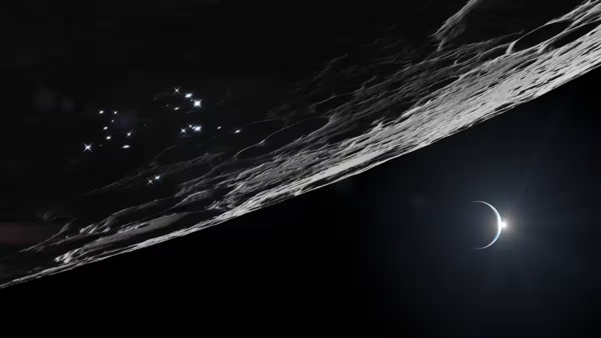
One obstacle to effective planning is the fragmented nature of lunar data, which originates from different missions, sensors and eras. Lunar Station tackles this by employing the Ames Stereo Pipeline, an open‑source tool provided by NASA, to convert stereo imagery into detailed three‑dimensional terrain models. The resulting meshes reveal elevation changes, rock distributions and other surface features that are critical for engineering assessments.
These models directly inform mission architecture. A landing site must accommodate descent trajectories while avoiding hazards, and rovers require routes that respect slopes and obstacles. By feeding these datasets into its proprietary MoonHacker suite, Lunar Station applies advanced geospatial analytics to NASA’s Planetary Data System. The platform seeks signatures of shallow deposits or pits that may indicate water‑rich regions, while simultaneously supporting broader operational planning.
Evaluating the Prospect of Lunar Water
Identifying usable water reserves on the Moon remains an unresolved issue. NASA notes that the distribution of in‑situ lunar water resources is still largely uncertain, yet the potential payoff is significant. Accessible ice could dramatically cut the cost of transporting supplies from Earth and enable sustained scientific or industrial activities.
Evidence for water ice in the lunar polar zones dates back to 2009, when the Lunar Crater Observation and Sensing Satellite (LCROSS) deliberately impacted the South Pole, producing a plume that was later analyzed for ice signatures. While that experiment confirmed the presence of water, it did not generate a detailed map of commercially viable deposits. Lunar Station builds on that foundation by scanning extensive lunar datasets for markers that may point to extractable resources, illustrating how legacy observations gain new relevance as practical questions arise.
Optimizing Landing Pads, Rover Paths and Communications Links
Beyond resource identification, the same mapping techniques aid in selecting suitable sites for landing pads, plotting efficient rover trajectories and planning communication networks. “We can find sites for landing pads, for cultivating the best paths for roving, and inform our clients about communications. If you can’t see Earth at a given location like in the polar regions or the far side of the Moon, you have to come up with a relay strategy,” DeWitt explained. “We can do this in part thanks to NASA data.”
Communications pose a particular challenge for missions targeting the lunar poles or far side, where direct line‑of‑sight to Earth is blocked. Designers may need relay satellites or alternative architectures to preserve data flow. By integrating terrain and visibility analyses into mission models, Lunar Station evaluates communication constraints alongside landing and mobility considerations, treating them as interconnected elements of a comprehensive plan.
Digital Twins Assess Radiation Exposure Before Launch
Lunar Station’s capabilities also extend to radiation risk assessment. Its MoonHacker Radiation Simulator employs a digital twin—a virtual replica of a spacecraft or rover—to model exposure during transit and on the lunar surface. These simulations help engineers determine the shielding requirements needed to protect hardware and crew before committing to hardware production.
Radiation remains a persistent hazard outside Earth’s protective magnetosphere, and accurate modeling can reduce uncertainty during the design phase. Coupled with terrain mapping and resource analysis, the radiation simulator creates an integrated digital environment where multiple mission aspects can be evaluated concurrently. This trend underscores the growing influence of sophisticated software tools in space exploration, complementing the physical hardware that must ultimately survive on the Moon.
This article has been fact checked for accuracy, with information verified against reputable sources. Learn more about us and our editorial process.
Last reviewed on .
Article history
- Latest version
Cite this page:
- Posted by Karan Das