Curiosity Tackles 24‑Degree Tilt On Martian Cliff To Reveal Hidden Water‑Wind Boundary
Curiosity rover hits a major Mars geological boundary after a steep climb, opening fresh insights into the planet’s ancient environment changes.
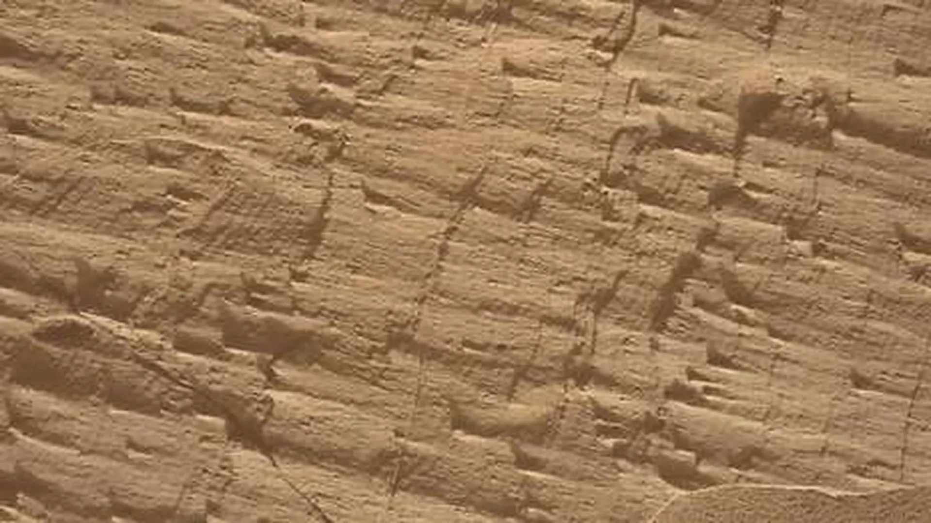
During its latest trek across Gale Crater, NASA’s Curiosity rover climbed to the summit of a sharply inclined Martian rock face while probing a potential erosional supersurface—a key break in the sedimentary record that could hold clues about ancient climate shifts on Mars. The rover approached the Cerro Paine Grande exposure closely enough to capture detailed images before positioning itself on top of the feature.
From a perch tilted roughly 24 degrees, Curiosity snapped a full 360-degree panorama and began scrutinizing the strata above and below the suspected boundary. Scientists hope the new perspective will help decide whether the rock layers record episodes dominated by wind, water, or a combination of both.
Unraveling a Major Gap in Mars’ Sedimentary History
NASA researchers describe the target as a candidate “erosional supersurface” [source]. In geological terms, such a surface marks a shift from a period of sediment accumulation to one of erosion, followed by a return to deposition, creating a distinct discontinuity in the rock record.
This distinction matters because sedimentary deposits can preserve signatures of environmental change that predate their exposure at the surface. Layers immediately beneath and above an erosional break may display differing textures or structures, offering a window into how conditions evolved over time.
Preliminary visual inspections have revealed patterns reminiscent of aeolian formations—features shaped by wind—and “lens” deposits that could be linked to fluvial processes, suggesting possible water‑borne sediment transport.
Current investigations aim to move beyond visual appraisal. High‑resolution imaging combined with chemical analyses will allow researchers to discriminate between competing formation scenarios for the observed rocks and structures.
Scaling the Cerro Paine Grande Wall
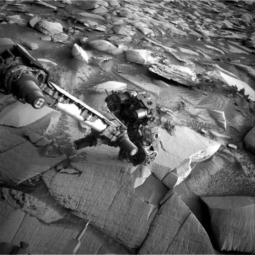
The rover’s most recent traverse brought it within striking distance of the lower portion of the Cerro Paine Grande cliff, allowing a close look at the vertical exposure that lies just beneath the candidate supersurface. After detailed imaging, Curiosity hoisted itself onto the summit, establishing a fresh observational platform.
Executing the ascent required the rover’s proven capability to negotiate steep inclines. The final resting angle of about 24 degrees approaches the mission’s historic contact‑science tilt record of 27 degrees, according to NASA planners.
With the rover positioned on the slope, its Mastcam system took center stage. The cameras produced extensive stereo mosaics of the outcrop and later generated a 360-degree panorama from the newly gained viewpoint.
Beyond offering a dramatic vista, the stereo data enable scientists to model the three‑dimensional geometry of the exposed layers, while the panoramic context helps place individual rock features within the broader geological framework, crucial for interpreting the suspected discontinuity.
In‑Depth Chemical Survey of the Underlying Strata
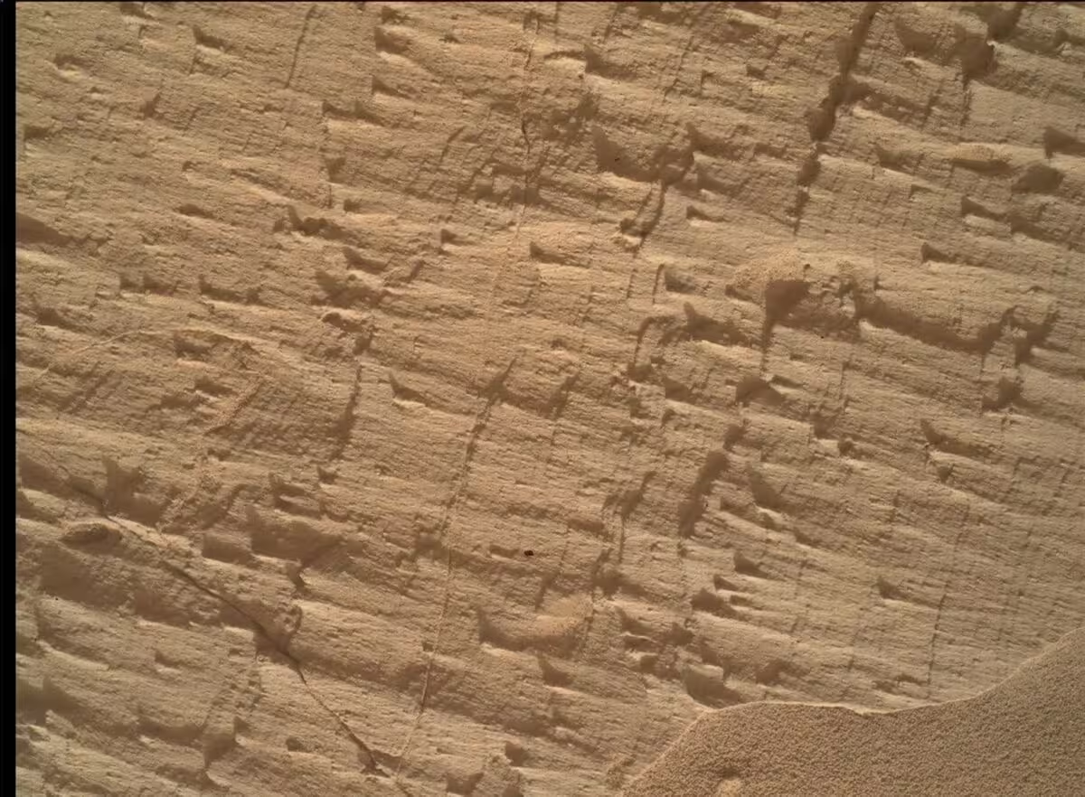
The imaging campaign was complemented by close‑up analyses from several onboard instruments. MAHLI captured high‑resolution textures, while the APXS suite measured elemental composition. ChemCam’s LIBS laser also probed selected targets to assess their chemistry from a distance.
During the Sol 4968 planning window, scientists chose a light‑colored block named Puyehue for coordinated APXS, MAHLI, and ChemCam observations. Two additional LIBS targets—Lago Palena, a similarly toned bedrock fragment, and Piedras Juntas, a layered rock positioned beside the work area—were also selected.
An APXS scan of a sand deposit labeled Cormudesi was carried out to evaluate whether the sand’s composition remains consistent along Curiosity’s path.
These measurements are critical because visual likeness does not guarantee identical formation histories. Chemical variations can reveal shifts in sediment sources, alteration processes, or depositional environments that are not evident from surface appearance alone.
This article has been fact checked for accuracy, with information verified against reputable sources. Learn more about us and our editorial process.
Last reviewed on .
Article history
- Latest version
Reference(s)
- Carney, Stephen. “Curiosity Blog, Sols 4968-4974: Rock Climbing Towards the Discontinuity - NASA Science.”, August 11, 2026 NASA <https://science.nasa.gov/blog/curiosity-blog-sols-4968-4974-rock-climbing-towards-the-discontinuity/>.
Cite this page:
- Posted by Bilal Abbasi