Europe’s Newest Earth Observation Satellite Just Sent Back Its First Stunning Images
Just two weeks after launch, Europe’s Sentinel-3C satellite has returned its first high-resolution images of Earth’s oceans, ice, and landscapes.
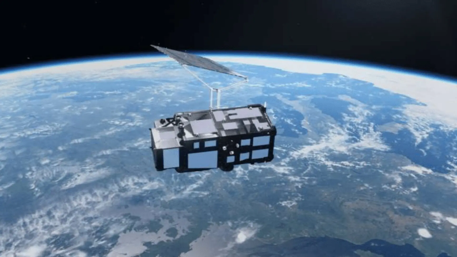
Just two weeks after its successful launch, Europe’s newest Earth-observation mission has cleared its first major hurdle. The European Space Agency (ESA) confirmed that Sentinel-3C is already delivering high-quality imagery and critical geophysical measurements, proving that its suite of advanced sensors is operating as designed.
Expanding the Copernicus Observation Network
Sentinel-3C, which lifted off in September 2026, represents the latest expansion of the Copernicus Sentinel-3 series. This orbital initiative serves as a vital component of Europe’s environmental monitoring framework, tasked with providing a continuous, long-term record of the planet’s oceans, land surfaces, atmosphere, and cryosphere. By joining a well-established constellation, the new satellite ensures the continuity of data streams essential for tracking global environmental shifts.
The spacecraft is equipped with a sophisticated payload, most notably the Ocean and Land Color Instrument (OLCI) and the Synthetic Aperture Radar Altimeter (SRAL). These tools enable researchers to monitor a diverse array of environmental metrics, from the health of vegetation and the extent of polar ice to the intricate dynamics of coastal waters and fluctuations in global sea levels.
While the satellite is currently in a five-month commissioning phase, these initial data returns serve as a successful technical validation of its primary instrumentation.
Visualizing Global Landscapes
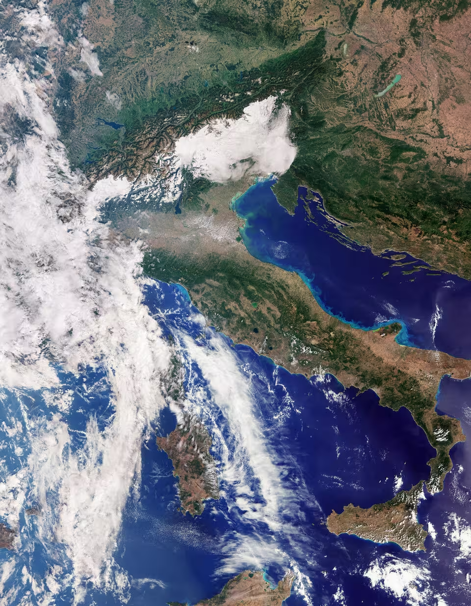
The first batch of images demonstrates the satellite’s precision, capturing distinct environmental features across the globe. Observations from September 30, 2026, provided a clear, natural-color view of Italy, highlighting the contrast between the snow-capped Alps and the agricultural plains of the Po Valley, while also identifying sediment plumes in the Adriatic Sea that offer insights into coastal sedimentation processes.
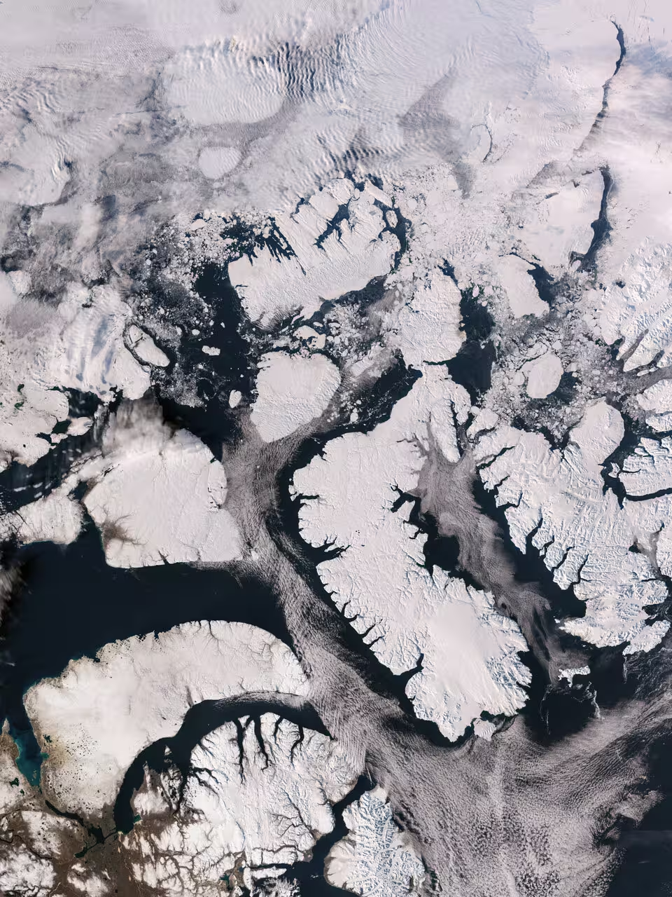
In the Arctic, the satellite captured the rugged, fragmented landscape of the Canadian Arctic Archipelago. Given that this region is warming at a rate significantly higher than the global average, the ability to repeatedly document the state of sea ice and geological changes is a top priority for climate scientists. Further south, imagery of the Caribbean—spanning Cuba and the Bahamas—showcased the satellite’s sensitivity in distinguishing between shallow, turquoise coastal waters and deeper offshore environments.
Precision Radar and Climate Monitoring
Beyond optical photography, the mission’s radar altimetry capabilities have already provided early dividends for climate research. ESA reports that between September 30 and October 4, the SRAL instrument successfully mapped the elevation of the Greenland ice sheet. When cross-referenced with established digital elevation models, the measurements showed remarkable accuracy.
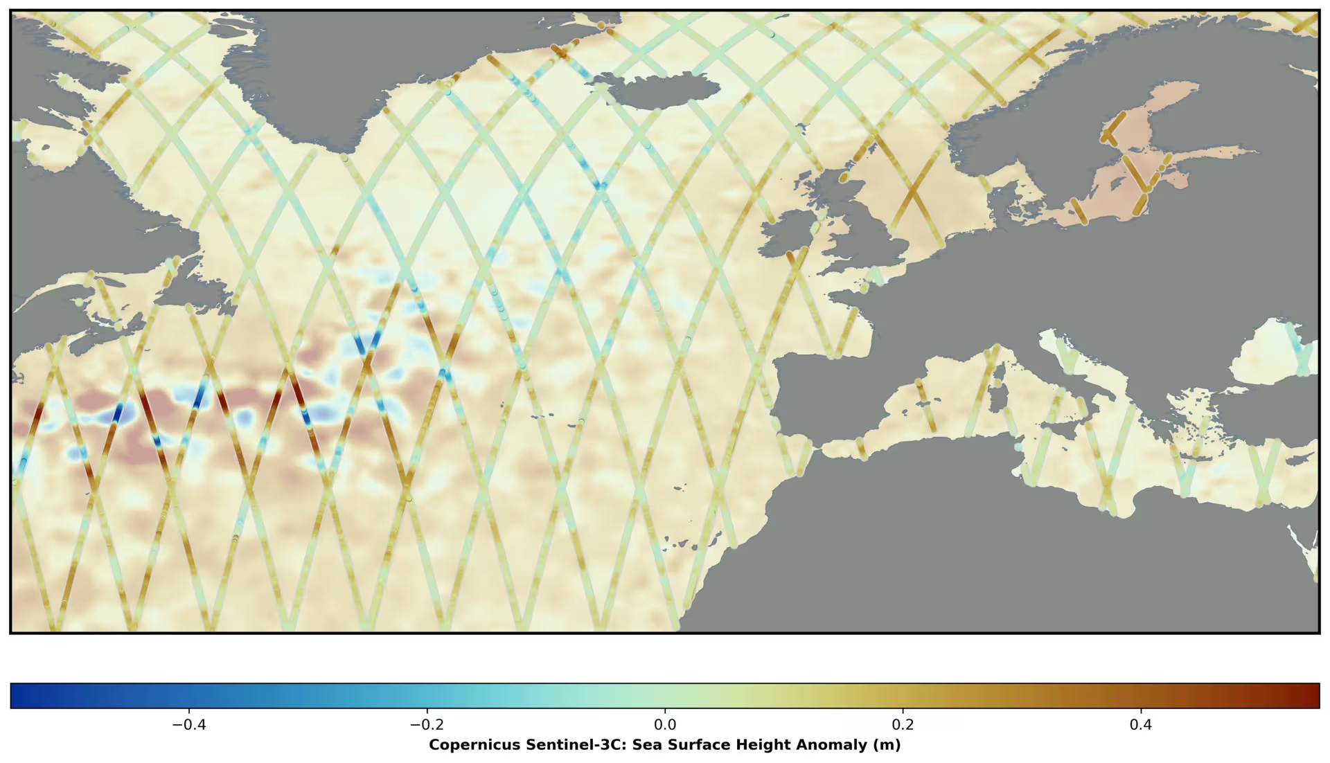
Similarly, the satellite successfully recorded sea-surface heights across the Atlantic Ocean and Mediterranean Sea. By benchmarking these results against existing datasets, such as the Copernicus Marine Service, the mission is already proving its reliability. This is critical for maintaining the record of global mean sea-level rise, which has averaged approximately 3.64 millimeters per year since 1999.
A Long-Term Perspective on Earth’s Health
The true value of the Sentinel-3C mission lies in its long-term operational lifespan. By providing consistent, repetitive observations, the satellite allows researchers to move beyond static snapshots to understand dynamic environmental trends. Whether monitoring the mass balance of polar ice sheets to improve sea-level rise projections, tracking drought conditions, or assessing the impact of wildfires, the data collected will become a cornerstone of climate resilience planning.
As the mission progresses through its remaining commissioning months, it will continue to integrate into the wider fleet of Earth-observation assets. When combined with future missions like the Copernicus CRISTAL satellite, Sentinel-3C will help maintain the robust, multi-layered data infrastructure required to navigate a rapidly changing planet.
This article has been fact checked for accuracy, with information verified against reputable sources. Learn more about us and our editorial process.
Last reviewed on .
Article history
- Latest version
Reference(s)
- “Sentinel-3C returns its first views of Earth.” <https://www.esa.int/Applications/Observing_the_Earth/Copernicus/Sentinel-3/Sentinel-3C_returns_its_first_views_of_Earth>.
Cite this page:
- Posted by Divya Iyer