LiDAR Uncovers 2.5 Km Of Hidden Inca Roads In Machu Picchu’s Cloud Forest
Digital imaging removed forest cover at Machu Picchu, uncovering over 2.5 km of hidden ancient roads beneath the vegetation.
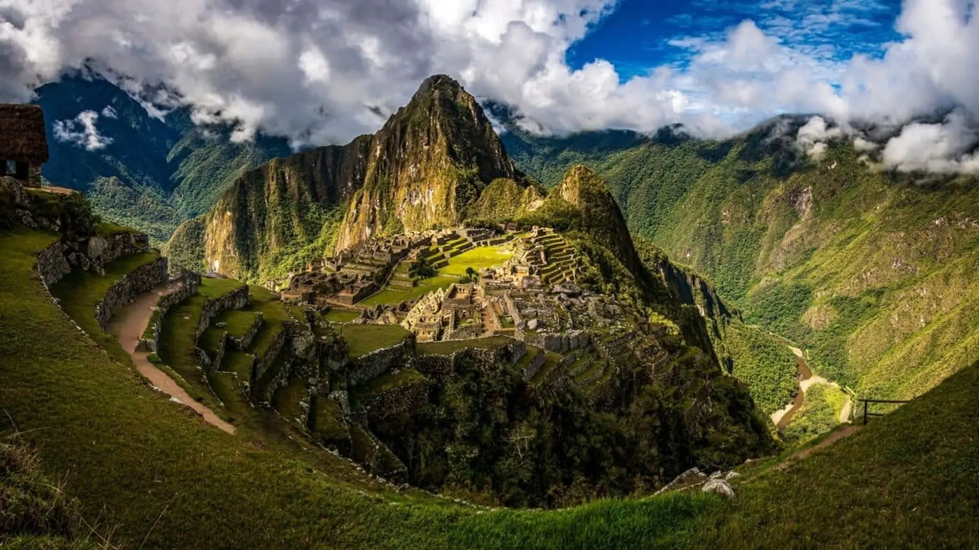
A recent LiDAR survey has revealed more than 2.5 kilometers of previously unknown pre‑Hispanic pathways hidden beneath the dense cloud forest surrounding Machu Picchu. The aerial scans also highlighted potential agricultural terraces and platform structures that await further study.
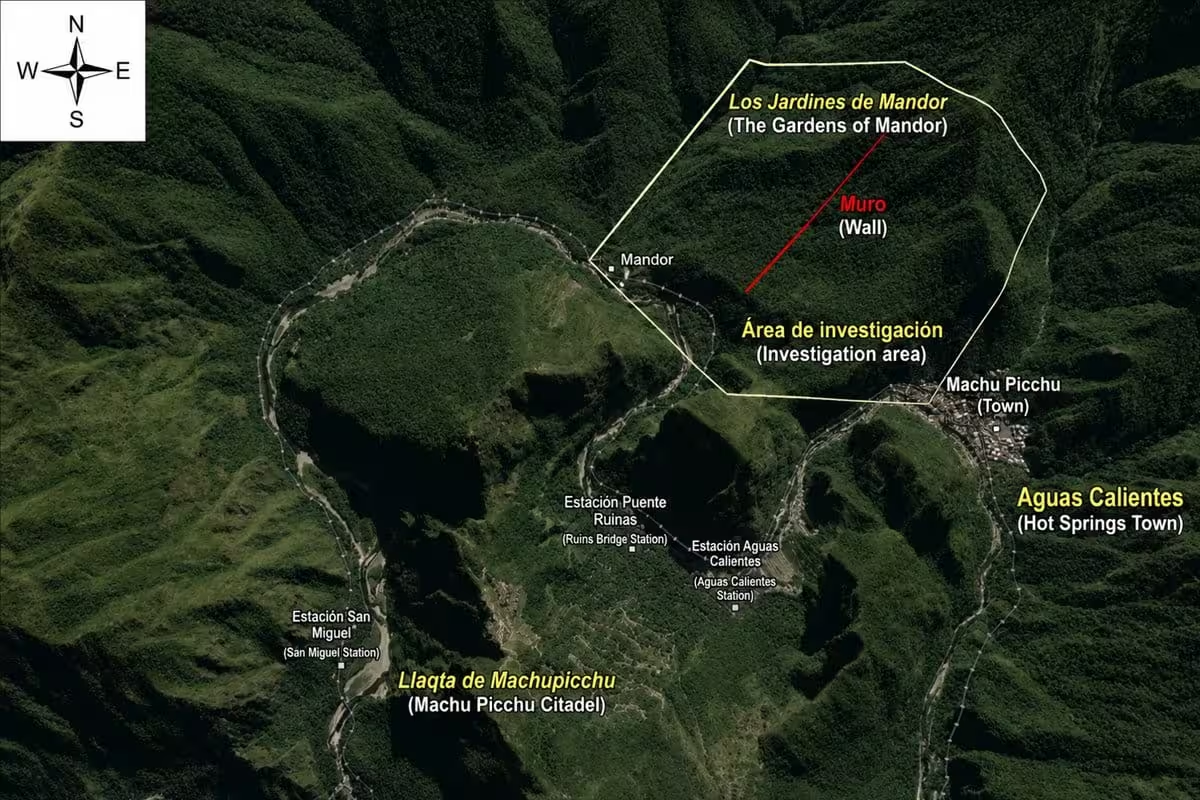
The investigation focused on the Mandor wall sector east of the iconic citadel, where a team began preliminary fieldwork in July 2023. The region’s steep slopes and thick vegetation have long hindered traditional on‑the‑ground exploration, allowing many ancient features to remain concealed.
Laser Mapping Cuts Through the Jungle
To peer beneath the canopy, researchers deployed LiDAR (Light Detection and Ranging) from aircraft. By emitting rapid laser pulses and recording their returns, the technology generated high‑resolution digital terrain models that exposed subtle ground features invisible to the naked eye.
A 1.2‑Kilometer Zigzag Road Emerges
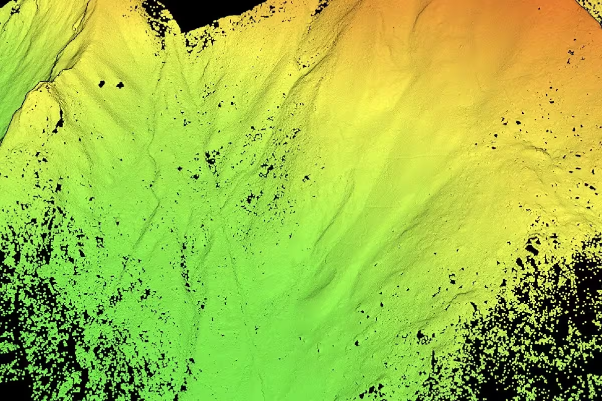
Among the newly identified features, a prominent road stretches for at least 1.2 kilometers. Its serpentine alignment and construction details resemble known Inca engineering methods, yet without dating evidence its precise origins remain uncertain.
The same LiDAR dataset also uncovered a network of smaller pathways, collectively accounting for over 2.5 kilometers of undocumented routes. In addition, the scans suggest the presence of ancient terraces and platform-like formations that could represent agricultural or ceremonial spaces.
Next Steps: Ground Verification and Conservation
Archaeologists plan targeted field surveys to determine the age, construction techniques, and intended functions of the newly mapped features. Officials in Cusco have urged systematic excavations to assess both the historical significance and the preservation needs of the sites.
Maritza Rosa Candia, executive director of the DDC Cusco, emphasized that advanced remote‑sensing tools are expanding knowledge of the broader Machu Picchu landscape and guiding future research priorities.
Since its inclusion on the UNESCO World Heritage List in 1983, Machu Picchu has been the focus of extensive archaeological work. The latest LiDAR findings demonstrate that the surrounding forest still holds considerable undiscovered infrastructure, reshaping our understanding of the region’s ancient connectivity.
This article has been fact checked for accuracy, with information verified against reputable sources. Learn more about us and our editorial process.
Last reviewed on .
Article history
- Latest version
Reference(s)
- “Machu Picchu - World Heritage Site | CuscoPeru.com.”, November 11, 2022 CuscoPeru.com <https://www.cuscoperu.com/en/news-events/world-heritage/>.
- “Maritza Rosa Candia - Directora de la Dirección Desconcentrada de Cultura de Cusco.” <https://www.gob.pe/institucion/culturacusco/funcionarios/251651-maritza-rosa-candia>.
- <https://whc.unesco.org/en/list/274/>.
Cite this page:
- Posted by Vikram Desai