Amateur Astronomer Finds 390‑Million‑Year‑Old Impact Crater Using Google Maps
Scientists uncover a massive 390-million-year-old impact crater hidden in Quebec’s wilderness, discovered during a camping trip search.
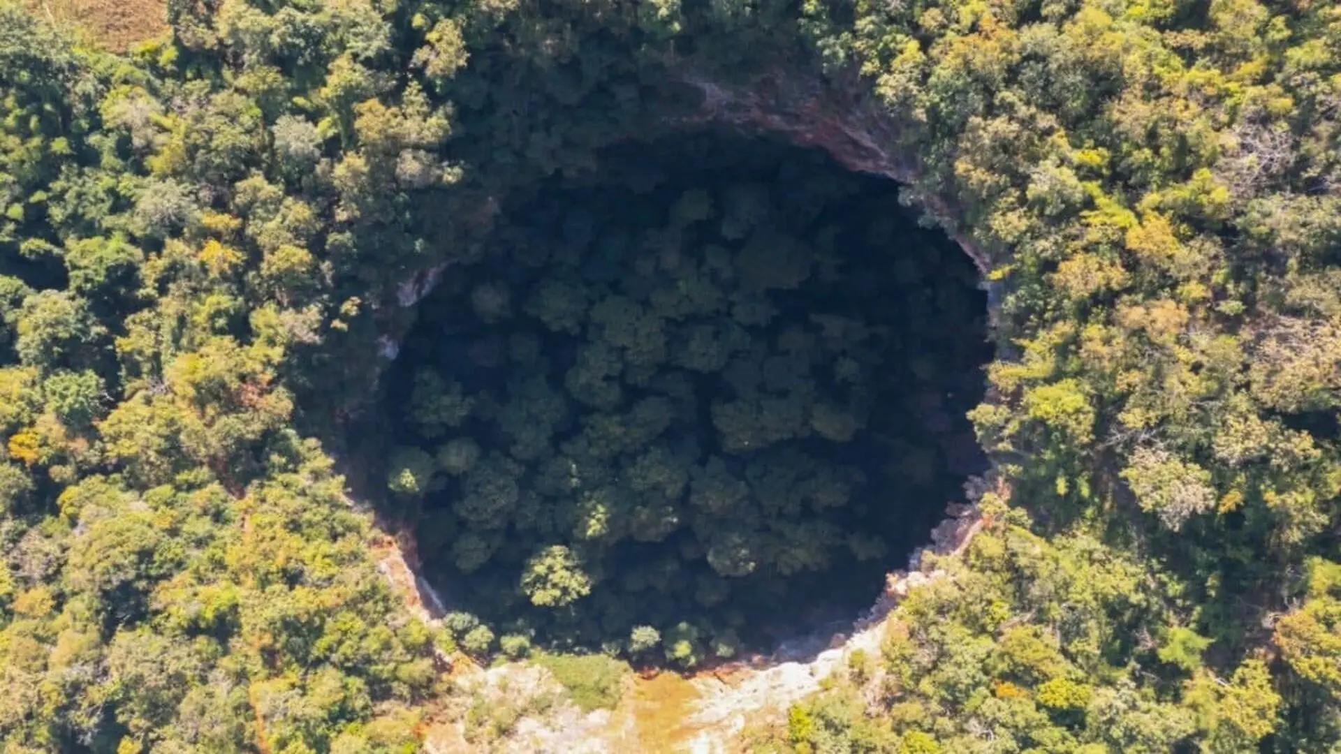
While planning a 2024 camping trip, amateur astronomer Joël Lapointe spotted an unexpected circular depression spanning roughly 25 km around Lake Marsal in northeastern Quebec when he examined the region on Google Maps.
He forwarded the coordinates to a team of planetary geologists, who organized a remote‑field expedition to investigate the anomaly. Laboratory analyses of rock samples collected on site indicate the structure formed about 390 million years ago, pointing to a meteorite impact that occurred during the Devonian period. In collaboration with the Innu Council of Ekuanitshit, the feature has been designated the Uhakkatik crater.
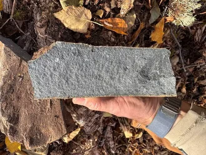
The investigation, led by Western University’s planetary geology professor Gordon Osinski, took five days in 2025. Dense forest prevented their floatplane from landing, forcing the team to wade through more than 160 feet of water while carrying equipment to exposed cliffs for sampling. The collected specimens were later examined in laboratories across Canada and France.
The crater lies within the traditional lands of the Innu of Ekuanitshit, and its name reflects a joint decision with the community’s council, linking the scientific label to the cultural context of the region.
Rock Evidence Confirms a High‑Energy Impact
Cliff faces revealed glassy impact melt rock, a product of the extreme temperatures generated when a meteorite strikes the Earth’s surface. Such material is a hallmark of impact events.
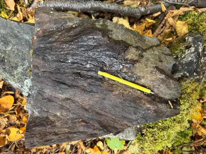
On the second day of fieldwork, the researchers identified shatter cones—distinctive, cone‑shaped fractures formed by shock waves traveling through solid rock. These features are considered definitive proof of a meteorite collision, as they rarely develop under other geological processes.
Radiometric dating of the impact‑related rocks placed the event at roughly 390 million years ago, situating it well before the rise of dinosaurs. The Uhakkatik crater now adds to an international inventory of about 200 confirmed impact structures.
Satellite Surveys Reveal Hidden Landforms Worldwide
Google Earth has also helped uncover other intriguing patterns, such as a series of bare circles near the Grand Canyon’s Vulcan’s Throne. Physicist Amelia Carolina Sparavigna attributed these formations to colonies of red harvester ants (Pogonomyrmex barbatus) that clear vegetation around their nests, creating a polka‑dot appearance from orbit.
Sparavigna noted that individual ant mounds can span up to 47 inches, leaving roughly 108 square feet of bare ground. When thousands of such clearings cluster together, they produce the striking satellite‑visible patterns. She emphasized that on‑site studies are required to confirm the hypothesis.
Source List
- CBC: He saw a pit on Google Maps. It turned out to be a 390-million-year-old meteor crater
- Green Matters: Physicist Finally Solves the Mystery Behind Strange Polka‑Dot Patterns Found in the Grand Canyon
- Natural Arches: Fairy Bridge
This article has been fact checked for accuracy, with information verified against reputable sources. Learn more about us and our editorial process.
Last reviewed on .
Article history
- Latest version
Reference(s)
- “He saw a pit on Google Maps. It turned out to be a 390-million-year-old meteor crater | CBC News.”, July 14, 2026 CBC <https://www.cbc.ca/news/canada/montreal/meteor-crater-quebec-discovery-390-million-years-old-9.7268583>.
- STAFF, GREEN. “Physicist Finally Solves the Mystery Behind Strange Polka-Dot Patterns Found in the Grand Canyon.”, January 29, 2025 Green Matters <https://www.greenmatters.com/pn/physicist-finally-solves-the-mystery-behind-strange-polka-dot-patterns-found-in-the-grand-canyon>.
- “Fairy Bridge.” <https://www.naturalarches.org/big_arches/big-FairyBridge.htm>.
Cite this page:
- Posted by Vikram Desai