A Volcanic Island Born From Fire Stayed Nearly Untouched Since 1963 and Became a Rare Natural Lab for Life Starting From Scratch
Scientists uncover life’s origins on a remote newborn island untouched for decades
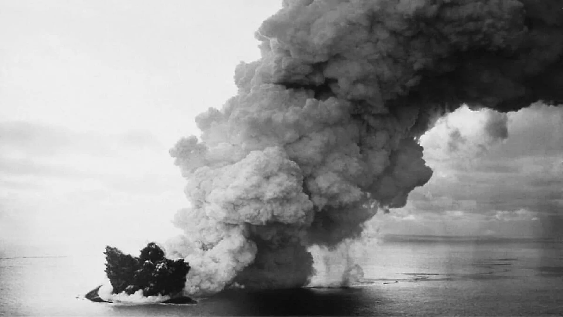
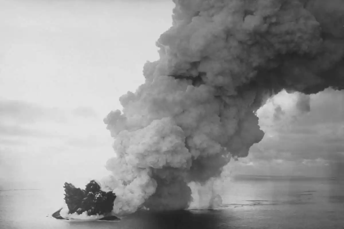
On 14 November 1963, a plume of ash and steam erupted from the seabed about 18 km southwest of Heimaey in Iceland’s Westman Islands, surfacing in the North Atlantic. The eruption likely started days earlier at a depth of roughly 130 m, where magma met cold seawater and generated a visible column above the water.
Within 24 hours a new landmass emerged, later christened Surtsey Island by Icelandic authorities. Researchers immediately recognised the site as a unique natural experiment to observe how life establishes itself on freshly created terrain.
More than sixty years on, Surtsey continues to serve as a pristine laboratory for investigating primary succession, largely because human activity has been tightly controlled since the island’s early days.
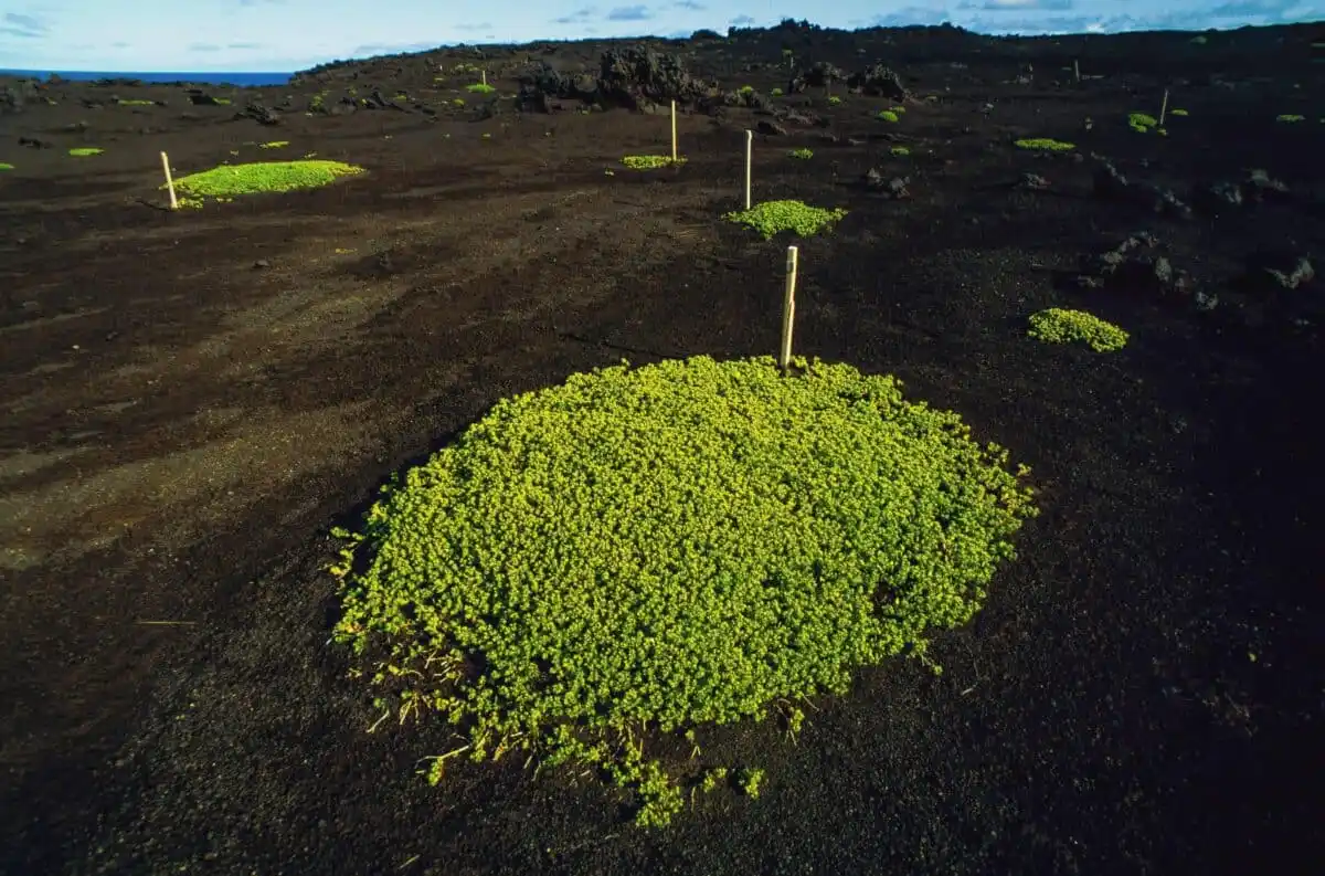
A recent paper in Ecology Letters examined the arrival of vascular plants on the island. The authors discovered that many colonisers lacked the typical long‑distance dispersal traits; instead, most seeds were transported by birds.
How a Volcanic Island Rose from the Sea
According to the Surtsey Research Society, the eruption began explosively as seawater instantly chilled magma, producing tephra and volcanic ash. By January 1964 the nascent island rose to 174 m above sea level, over 300 m higher than the original submarine vent.
Eruptive activity shifted among several vents, spawning nearby submarine cones and briefly giving rise to two minor islands, Syrtlingur and Jólnir, before they were reclaimed by the ocean. Surtsey endured because later lava flows solidified parts of the structure.
Lava extrusion resumed on 4 April 1964 from the island’s western crater and continued until 17 May, expanding the land area to 2.4 km². A subsequent eruption began on 19 August 1966 and lasted until June 1967, bringing the total eruptive period to over three and a half years. By the end of activity the island covered roughly 2.7 km² and had produced about 1.1 km³ of volcanic material, of which 60‑70 % was tephra and the remainder lava.
Strict Protection Preserves the Experiment
Iceland designated Surtsey a nature reserve in 1965, a status that has been reaffirmed in successive decades. The reserve’s mandate, outlined by the Surtsey Research Society, is to let ecological and geological processes unfold with minimal human interference.
Access is limited to researchers holding a permit; the rules forbid landing, disturbing the environment, introducing organisms, or leaving any waste. Such restrictions are crucial because even a single seed carried inadvertently could obscure the natural colonisation record that scientists aim to document.
The strict stewardship makes Surtsey one of the few sites where primary succession— the gradual build‑up of life on barren volcanic rock— can be observed without the confounding influence of human‑mediated introductions.
Birds, Not Fruit, Delivered the First Seeds
Researchers from the Estación Biológica de Doñana analysed records of 78 vascular plant species documented on Surtsey since 1965. Traditional island biogeography had assumed that long‑distance colonisers would possess specialised seed or fruit traits, such as fleshy fruits that attract birds.
The new study found that the majority of Surtsey’s plant species lacked those classic dispersal adaptations. Instead, gulls, geese and shorebirds appear to have acted as the primary vectors, transporting seeds internally or externally via droppings.
Dr Pawel Wasowicz of the Natural Science Institute of Iceland, a co‑author, described birds as “the true pioneers of Surtsey,” because they delivered seeds that conventional theory would not predict to arrive. Dr Andy Green of the Estación Biológica de Doñana added that avian movements are central to plant colonisation on remote islands.
The authors suggest that ecological models should incorporate these biotic interactions rather than relying solely on morphological seed traits.
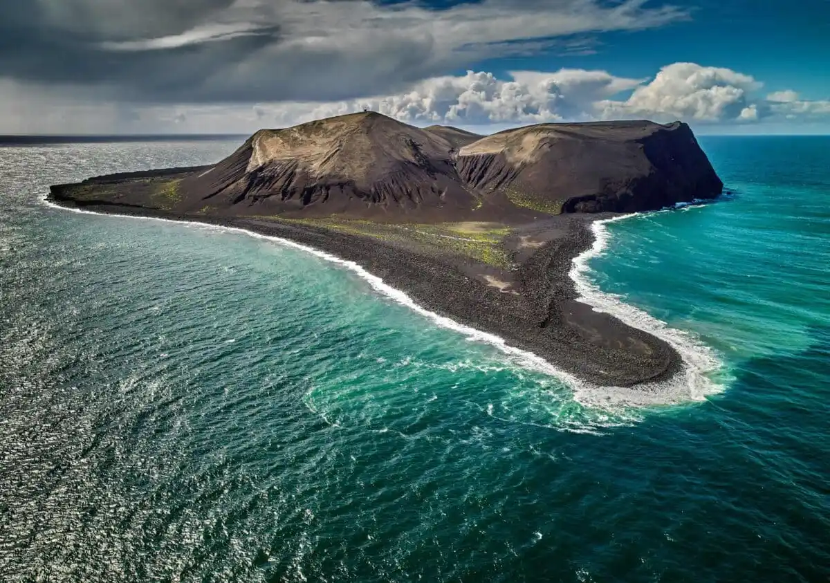
Continual Coastal Erosion Shapes the Island
Surtsey’s coastline is not static; it has been retreating since volcanic activity ceased. The Surtsey Research Society notes that prevailing strong winds and relentless wave action drive significant shoreline loss. During a severe storm on 8‑9 January 1990, wave heights southeast of the island averaged 14 m, with peaks near 20 m.
In the early post‑eruption years the island lost between 3 and 20 hectares annually; more recent measurements indicate an average reduction of about 1 hectare per year. Two factors have helped preserve portions of the land: solidified lava flows from the 1964‑65 and 1966‑67 eruptions, and the formation of palagonite tuff from hardened tephra.
Nevertheless, the island’s footprint has contracted markedly. From a peak of 2.7 km² in 1967, Surtsey shrank to roughly 2.0 km² by 1975 and further to 1.4 km² in 2002, representing just over half of its maximum size.
This article has been fact checked for accuracy, with information verified against reputable sources. Learn more about us and our editorial process.
Last reviewed on .
Article history
- Latest version
Reference(s)
- Wasowicz, Pawel., et al. “Putative ‘Dispersal Adaptations’ Do Not Explain the Colonisation of a Volcanic Island by Vascular Plants, but Birds Can.” Ecology Letters, vol. 28, no. 10, October 16, 2025 Wiley, doi: 10.1111/ele.70234. <https://onlinelibrary.wiley.com/doi/10.1111/ele.70234>.
- “Surtseyjareldar - Surtsey Research Society.”, August 18, 2019 Surtsey Research Society <https://english.surtsey.is/surtseyjareldar-2/>.
- “Friðun Surtseyjar - Surtsey Research Society.”, August 18, 2019 Surtsey Research Society <https://english.surtsey.is/fridun-surtseyjar/>.
Cite this page:
- Posted by Linda Wilson