Satellites Reveal a Hidden World Beneath Antarctica’s Ice
Using satellite data and ice flow physics, scientists have mapped Antarctica’s hidden landscape in unprecedented detail, revealing valleys, ridges, and rough terrain that reshape our understanding of ice sheet behavior and sea level rise.
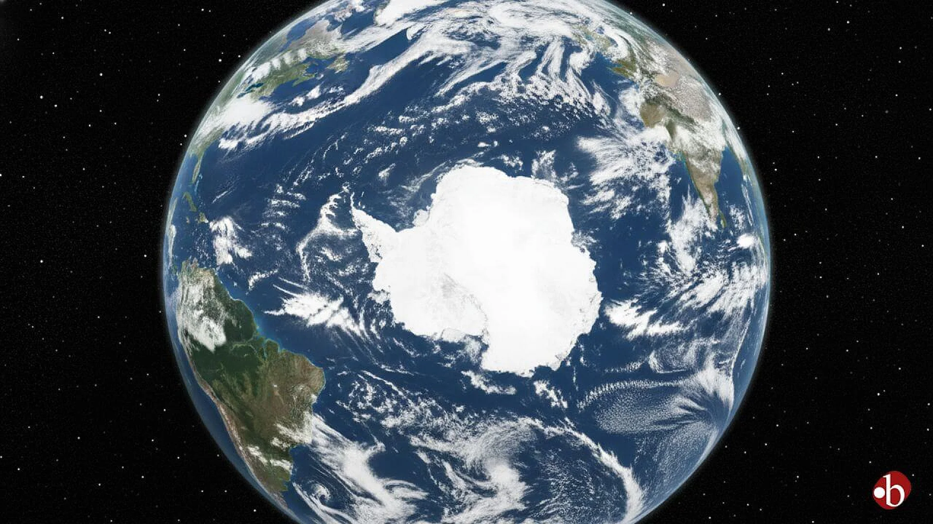
Antarctica is often imagined as a featureless expanse of white, an endless ice-covered wilderness stretching to the horizon. Yet beneath this frozen surface lies a landscape as varied and complex as any on Earth, carved by ancient rivers, glaciers, and tectonic forces. Until now, much of this hidden world has remained frustratingly out of reach, known only through scattered measurements taken along narrow survey lines flown by aircraft or traced across the ice by ground teams.
This lack of detail has been more than a cartographic curiosity. The shape and texture of the bed beneath the ice exert a powerful control on how the Antarctic Ice Sheet flows. Valleys can channel ice toward the ocean, ridges can slow it down, and rough terrain can increase friction at the base. These factors directly influence how much ice Antarctica may lose in a warming climate, and how fast global sea levels could rise.
In a study published in Science, researchers have now produced the most detailed continental-scale map yet of Antarctica’s subglacial topography. Remarkably, they achieved this not by drilling through kilometers of ice or filling the skies with new survey flights, but by looking closely at the ice surface from space and working backward using the physics of ice flow.
Why Antarctica’s Hidden Bed Matters
Climate scientists have long recognized that the bed beneath Antarctica’s ice is a critical boundary condition for ice sheet models. In simple terms, to predict how ice will behave in the future, researchers need to know what it is sliding over. Smooth, sediment-filled basins allow ice to flow differently than rugged mountain terrain. Deep troughs can act as gateways that funnel ice rapidly toward the sea.
Despite this importance, Antarctica’s subglacial landscape has remained poorly mapped. In many regions, the spacing between direct measurements of ice thickness and bed elevation can be tens of kilometers apart. Between these lines, scientists have relied on mathematical interpolation methods to fill in the gaps. While useful, these approaches tend to smooth out the landscape, erasing smaller valleys, hills, and sharp boundaries that are known to exist where measurements are available.
The result has been a patchwork view of Antarctica’s bed, with high confidence along survey tracks and growing uncertainty farther away. In some cases, the hidden terrain beneath the ice has been less well known than the surfaces of Mars or Mercury.
Reading the Ice Surface Like a Fingerprint
The new study takes a fundamentally different approach. Instead of treating the ice surface as merely a passive cover, the researchers recognized it as an active record of what lies below. As ice flows over bumps, ridges, and valleys in the bed, it responds in subtle but measurable ways. These responses create variations in the ice surface that can be detected by modern satellite instruments.
The team applied a method known as Ice Flow Perturbation Analysis. This technique uses the physical laws that govern how ice deforms and flows to infer the shape of the bed beneath it. In essence, the ice surface becomes a kind of fingerprint of the hidden terrain below.
High-resolution satellite maps of Antarctica’s ice surface, combined with measurements of ice velocity and existing data on ice thickness, provided the raw ingredients. By solving the equations that describe ice flow across the entire continent, the researchers were able to invert the problem, reconstructing the bed topography that best explains the observed surface features.
The result is a new continental-scale map that captures mesoscale features, those ranging from about 2 to 30 kilometers in size, with unprecedented clarity.
A Landscape of Valleys, Ridges, and Hidden Channels
The newly revealed subglacial map shows that Antarctica’s hidden landscape is far from uniform. Across vast areas, the researchers identified incised valleys, sharp topographic boundaries, and complex ridge-and-valley systems that had been blurred or entirely missed in previous maps.
In parts of East Antarctica, long channels cut deep into the bed run for hundreds of kilometers. Some of these features are steep-sided and narrow, suggesting they may be remnants of ancient drainage systems that once carried water from mountainous regions long before the continent was fully glaciated. Elsewhere, similar channels slice across ridges, hinting at extensive subglacial hydrological networks that may still influence how water moves beneath the ice today.
Highland regions beneath the ice reveal another surprise. Instead of smooth plateaus, many areas show networks of valleys that resemble alpine landscapes exposed by retreating glaciers elsewhere in the world. These patterns suggest that parts of Antarctica experienced phases of mountain glaciation in the distant past, preserving a record of ice sheet growth and retreat that predates the modern Antarctic Ice Sheet.
The map also brings geological boundaries into sharper focus. In some basins, the transition between low-lying sedimentary regions and higher crystalline terrain appears as a sharp, linear feature. These boundaries likely reflect deep tectonic structures that have shaped the continent over hundreds of millions of years.
Measuring Roughness Across a Frozen Continent
Beyond mapping individual features, the researchers took advantage of their new dataset to quantify the texture of Antarctica’s subglacial landscape. Texture, in this context, refers to how rough or smooth the bed is at different scales, a property that can influence how easily ice slides.
By applying a range of metrics to the new map, the team produced the first consistent, continent-wide picture of subglacial roughness that is not strongly biased by where surveys happen to exist. One simple measure involved counting subglacial hills, defined as local high points rising at least 50 meters above their surroundings. The new map revealed roughly twice as many such hills as some of the most widely used previous datasets.
Another measure examined the fractal nature of the terrain, a way of describing how roughness changes with scale. Higher values of this metric tend to be associated with rougher beds and potentially greater resistance to ice flow. The patterns that emerged from the new map align more closely with known geological provinces than with the distribution of past survey lines, suggesting a more faithful representation of reality.
These roughness metrics are not just descriptive. They provide crucial inputs for ice sheet models, helping scientists estimate basal drag, the frictional resistance between ice and bed that plays a central role in controlling ice velocity.
Rewriting the Story of Antarctica’s Past
The detailed view of Antarctica’s hidden landscape also sheds new light on the continent’s glacial history. Studies of landscapes exposed after ice retreat elsewhere in the world have shown that different styles of erosion correspond to different glacial regimes. High-relief alpine terrain forms where valley glaciers dominate, while low-relief surfaces can indicate widespread erosion beneath thick, slow-moving ice.
Using their new map, the researchers classified Antarctica’s subglacial landscape into broad geomorphological categories. One striking result is that truly low-relief terrain appears to be less extensive than previously thought. Many areas once interpreted as smoothly eroded bedrock are now revealed to have more complex topography, suggesting they may instead be regions filled with thick sediment deposits.
Large portions of the continent fall into a category described as selectively eroded landscapes. In these regions, relatively flat uplands are dissected by deep troughs, reflecting zones where erosion was concentrated, possibly guided by subglacial water flow. Some of these landscapes cluster around modern ice streams, where erosion may still be active today. Others appear preserved in areas of slow-moving ice, offering a snapshot of past ice sheet configurations that may date back millions of years.
This revised picture challenges older interpretations and suggests that Antarctica’s interior preserves a rich archive of its long-term interaction with ice, water, and tectonics.
Implications for Future Sea Level Rise
Understanding the shape and texture of Antarctica’s bed is not an academic exercise. It is a prerequisite for reliable projections of future sea level rise. Ice sheet models are highly sensitive to basal conditions, especially in regions where ice flows rapidly toward the ocean.
By providing a more realistic representation of mesoscale topography, the new map allows modelers to better capture how ice interacts with underlying terrain. Features such as hidden ridges can stabilize ice flow, while deep troughs can promote rapid retreat if ice thins and grounding lines shift.
The study also highlights where uncertainties remain. Ice Flow Perturbation Analysis cannot resolve features smaller than the ice thickness, because such small-scale bumps do not leave a detectable signature at the surface. However, landscapes often exhibit fractal roughness, meaning that information at larger scales can still provide clues about smaller-scale variability.
In practical terms, the new map offers a guide for future field campaigns, helping researchers decide where more detailed geophysical surveys would yield the greatest benefit.
A New Way of Seeing Beneath the Ice
Perhaps the most profound contribution of this work is conceptual. It demonstrates that the ice surface itself contains a wealth of information about what lies beneath, information that can now be unlocked thanks to advances in satellite remote sensing and computational modeling.
By combining physics-based methods with global satellite datasets, the researchers have shown that it is possible to overcome some of the long-standing limitations imposed by sparse field measurements. This approach does not replace traditional surveys, but it transforms how their data are used, filling gaps in a way that respects the laws governing ice flow.
As satellite missions continue to improve in resolution and coverage, and as computational techniques advance, this method is likely to play an increasingly important role in polar science. The hidden landscapes of Antarctica are no longer entirely out of reach.
The research was published in Science on January 15, 2026.
This article has been fact checked for accuracy, with information verified against reputable sources. Learn more about us and our editorial process.
Last reviewed on .
Article history
- Latest version
Reference(s)
- Ockenden, Helen., et al. “Complex mesoscale landscapes beneath Antarctica mapped from space.” Science, vol. 391, no. 6782, 15 January 2026, pp. 314-319., doi: 10.1126/science.ady2532. <https://www.science.org/doi/10.1126/science.ady2532>.
Cite this page:
- Posted by Divya Iyer