Archaeologists Map Massive 1-Mile Long Inca Tunnel Network Hidden Beneath Modern Cusco
Archaeologists have mapped a vast 1.1-mile Inca tunnel system hidden beneath a modern city, finally confirming a legend that has persisted for centuries.
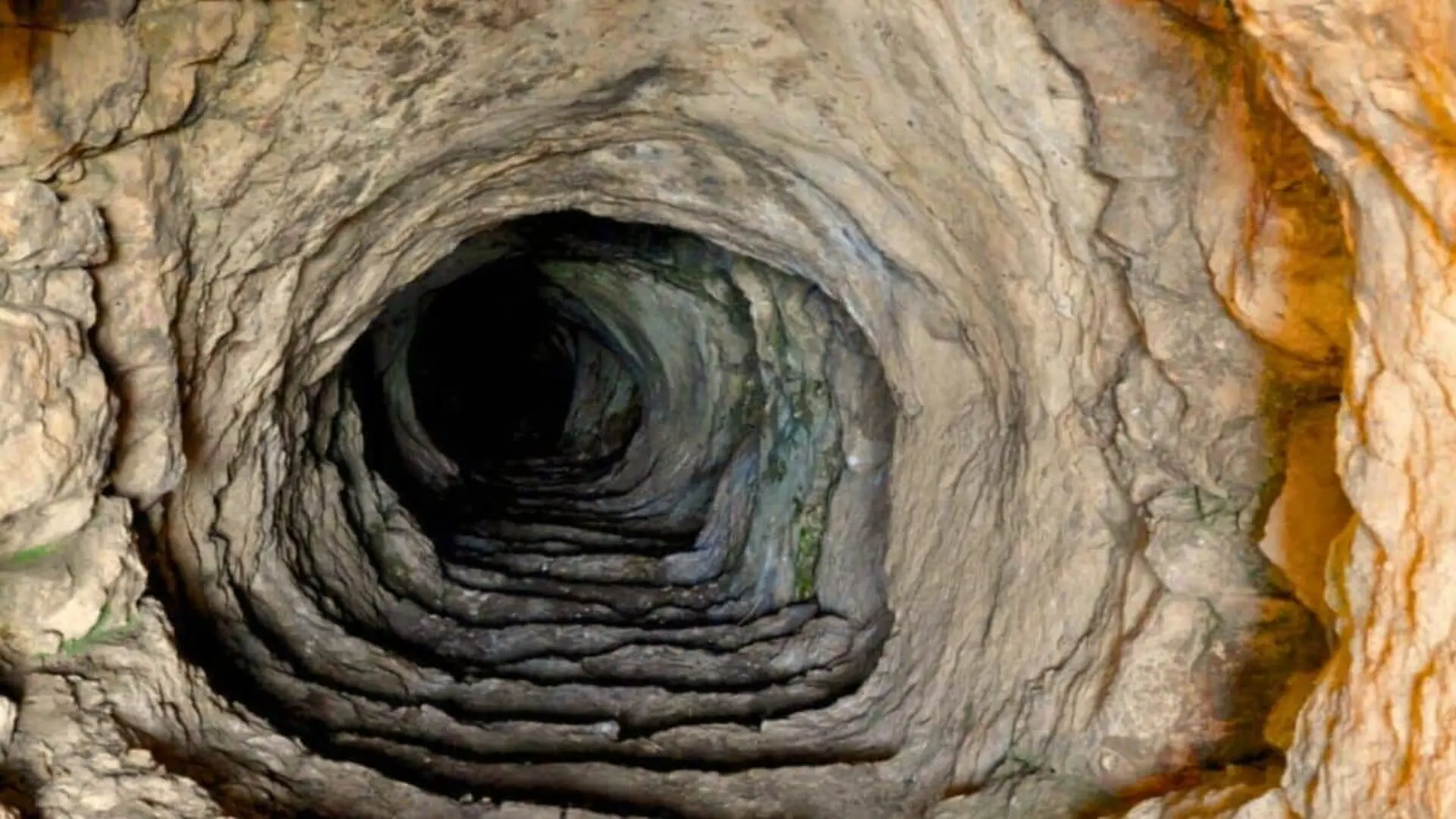
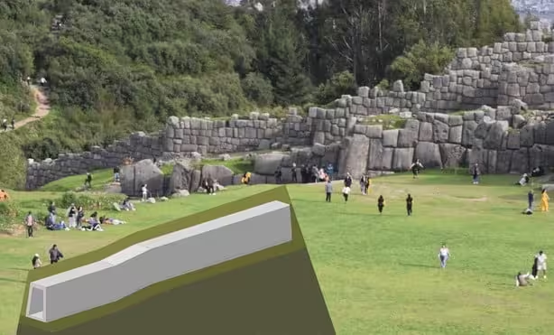
Archaeologists have successfully mapped a vast subterranean network beneath the city of Cusco, confirming the existence of ancient passageways that have been the subject of local lore and historical speculation for centuries. The primary artery of this network, known as the Chincana, extends for 1,750 meters, linking the sacred Temple of the Sun (Coricancha) to the formidable Sacsayhuaman archaeological complex.
The project, led by researchers Jorge Calero Flores and Mildred Fernandez Palomino, represents the culmination of nearly three decades of investigation. By moving beyond traditional excavation, the team employed non-invasive acoustic and geophysical methods to trace the tunnel system, which runs along a north-south axis through the heart of the modern city.
Mapping the Subsurface Legacy
The researchers identified the location of the tunnels by synthesizing colonial-era documents with modern technology. Accounts dating as far back as a 1594 report by an anonymous Jesuit provided the initial clues regarding an underground route connecting the capital’s ceremonial center to the northern fortress. By cross-referencing these historical descriptions with current urban topography, the team pinpointed areas of interest, such as the Rodadero sector.
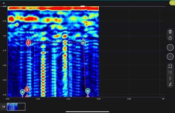
To confirm their suspicions without disturbing the surface, the team utilized acoustic prospecting to detect hidden voids. Once anomalies were identified, they deployed ground-penetrating radar (GPR) to map the subterranean architecture. The resulting data revealed a sophisticated, multi-corridor system. In addition to the primary 1.75-kilometer passage, the network includes three smaller branches: one extending toward Callispuquio, another toward the Muyucmarca sector of Sacsayhuaman, and a third located behind the Church of San Cristobal.
Engineering and Scale
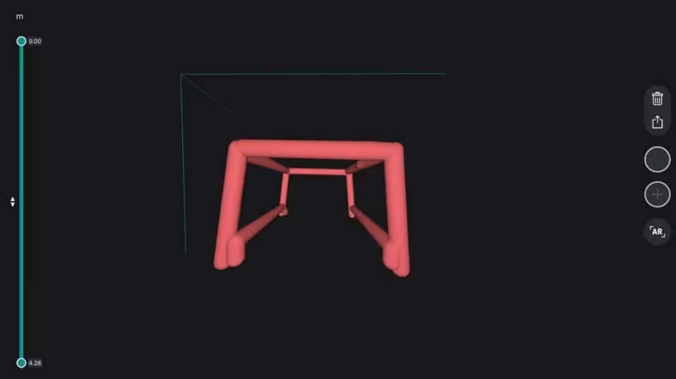
The tunnels measure approximately 260 centimeters in width and 160 centimeters in height. These dimensions suggest the passages were designed to accommodate movement, with Calero suggesting the corridors were spacious enough to facilitate the transport of people on litters. The structural design points to a “cut-and-cover” construction method, where builders excavated trenches, lined them with stone, spanned the gap with timber roofing, and backfilled the surface to integrate the tunnels beneath existing Inca roads and terraces.
Future Explorations
While the mapping phase is complete, the physical interior of the tunnels remains largely unexplored. The team has successfully visualized the layout through radargrams and three-dimensional modeling, providing a blueprint for future field work. According to Fernandez, the next phase will involve strategic excavations at specific entry points to gain direct access to the subterranean network.
This article has been fact checked for accuracy, with information verified against reputable sources. Learn more about us and our editorial process.
Last reviewed on .
Article history
- Latest version
Cite this page:
- Posted by Vikram Desai