New Technique Uncovers 5‑Centimeter Space Junk in Geostationary Belt Threatening Satellites
Scientists unveil a new detection method that reveals tiny, hidden space‑debris fragments in Earth’s prime orbital zone.
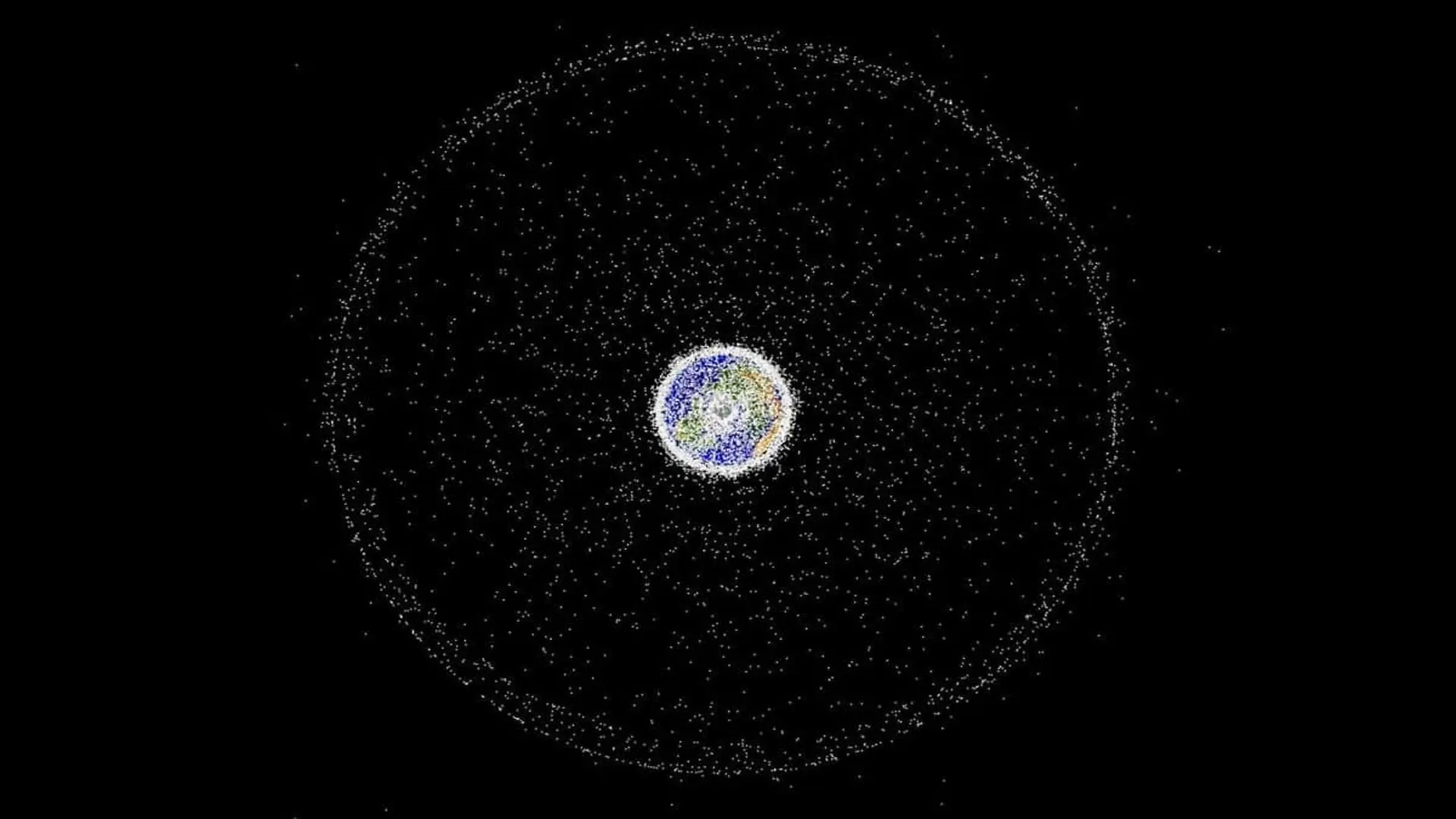
A recent study has identified space junk as small as five centimetres orbiting at geosynchronous altitude, exposing a hidden cadre of debris that could jeopardise the satellites responsible for communications, broadcasting, weather monitoring and environmental observation. The peer‑reviewed article, appearing in the Journal of the Astronautical Sciences, demonstrates that sophisticated image‑processing can reveal objects that traditional surveys have overlooked.
Orbiting at 36,000 km: The Unseen Threat Zone
The research zeroes in on the geosynchronous belt, a ring roughly 36,000 kilometres above the equator where spacecraft match Earth’s rotation. This region houses the satellites that power everyday services worldwide. Unlike lower‑orbit debris, which eventually succumbs to atmospheric drag, objects at this height remain aloft for centuries, and their great distance makes tiny fragments exceptionally faint to ground‑based instruments. Consequently, operators may be sharing orbital space with more hazards than existing public databases indicate.
To address this blind spot, a team led by Warwick University revisited archived telescope data, applying novel algorithms that can pull out ultra‑weak signals buried in background noise. Their work uncovered pieces estimated to be as small as five centimetres, marking the smallest geosynchronous debris detected by astronomical means to date. The results suggest that software upgrades alone could expose a concealed population without the need for new hardware.
Why a Few‑Centimetre Piece Can Damage Multi‑Billion‑Dollar Satellites
Impact risk depends far more on relative speed than on size. At geostationary altitudes, debris can travel at several kilometres per second, imparting kinetic energies capable of crippling expensive spacecraft. “Objects moving at high velocity can cause serious damage even if they are tiny,” notes Dr. James Blake, lead author and research fellow at Warwick’s Centre for Space Domain Awareness. “A small fragment can still generate enough force to jeopardise critical components, so monitoring these pieces is essential.”
Potential damage ranges from puncturing solar arrays and antennae to degrading propulsion systems. Even a non‑catastrophic strike can shorten a satellite’s operational lifespan or spawn additional fragments, compounding the hazard for future missions.
Re‑processing Old Images Uncovers Missed Debris
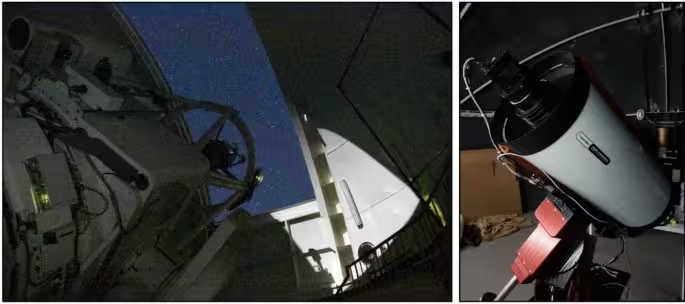
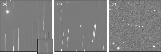
The team revisited data from a previous geostationary debris survey carried out with the 2.54‑metre Isaac Newton Telescope on La Palma. By applying a “blind stacking” technique—systematically aligning and summing images along countless hypothetical paths—they amplified faint signatures until they emerged above the noise floor. This method revealed 25 objects that the original analysis had failed to record.
Light‑curve examinations showed many of the newly found fragments were tumbling, causing periodic brightness variations as they rotated. The study, published in the Journal of the Astronautical Sciences, argues that such characterization goes beyond simple enumeration, offering insights into post‑fragmentation dynamics and future orbital evolution.
Catalog Gaps Reveal a Hidden Majority
Perhaps the most striking statistic is that about 80 % of the faint detections were absent from publicly accessible tracking databases. This disparity highlights the limits of current surveillance systems, which miss objects that fall below their sensitivity thresholds. While not every uncatalogued piece poses an immediate collision danger, the lack of comprehensive data hampers accurate risk modelling for satellite operators and space‑environment researchers.
Global Cooperation Fuels the Next Phase
Building on the initial survey, researchers are now tapping telescopes across continents to broaden coverage. “We have partnered with large facilities in Australia and Japan, leveraging expertise from the Australian National University and JAXA,” says Prof. Will Feline, senior principal scientist at the UK Defence Science and Technology Laboratory. “Multinational collaboration is crucial for tackling a truly global challenge like space domain awareness, and it showcases the value of UK academic strengths for national defence.”
By coordinating observations from widely separated sites, the consortium aims to capture complementary perspectives, improve detection rates, and eventually apply the blind‑stacking approach to additional archival datasets. The ultimate goal is to map the faint end of the geosynchronous debris population with enough fidelity to inform safer satellite operations worldwide.
This article has been fact checked for accuracy, with information verified against reputable sources. Learn more about us and our editorial process.
Last reviewed on .
Article history
- Latest version
Reference(s)
- Blake, James A.., et al. “DebrisWatch II: Digging Deeper for Geosynchronous Debris.” The Journal of the Astronautical Sciences, vol. 73, no. 4, June 24, 2026 Springer Science and Business Media LLC, doi: 10.1007/s40295-026-00602-1. <https://link.springer.com/article/10.1007/s40295-026-00602-1>.
Cite this page:
- Posted by Karan Das