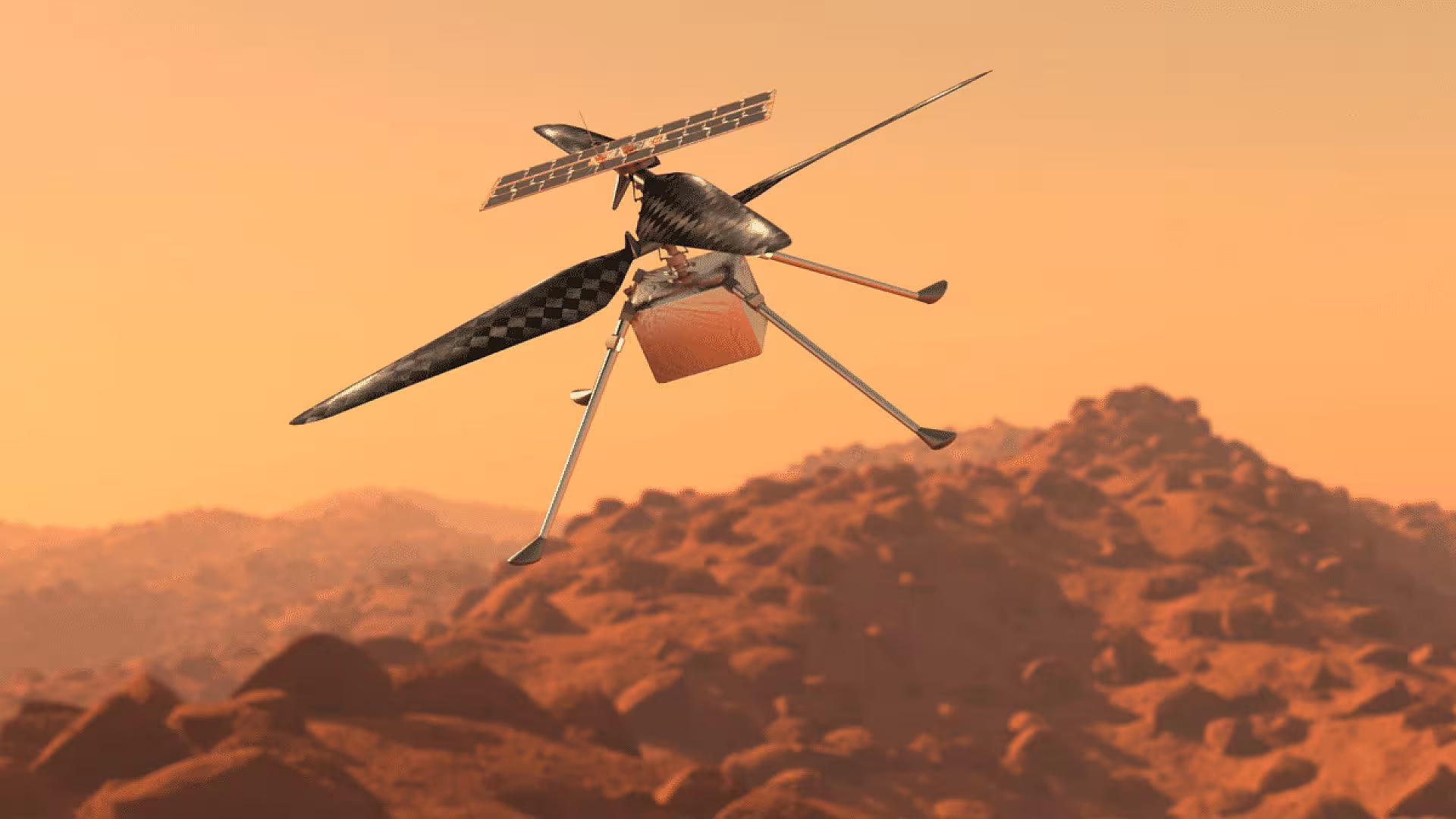
Drones Over Mars? Scientists Reveal How Flying Robots Could Unlock Hidden Water On The Red Planet
Une étude récente met en lumière comment des drones équipés de radars pourraient localiser avec une précision sans précédent la glace d’eau accessible sur Mars.
A breakthrough in aerial technology is poised to revolutionize the way scientists locate water on Mars, bringing unprecedented precision to future exploration missions. According to a study published in the Journal of Geophysical Research: Planets on March 24, researchers have successfully demonstrated that low-flying drones equipped with ground-penetrating radar can map buried ice with remarkable accuracy, a feat that has eluded orbiting spacecraft.
Unlocking Hidden Ice Deposits
For decades, Mars exploration has relied heavily on orbital instruments like SHARAD aboard NASA’s Mars Reconnaissance Orbiter to detect subsurface ice deposits. While these tools have confirmed vast reservoirs of frozen water beneath layers of dust and rock, their resolution remains limited when it comes to shallow depths, leaving critical uncertainties about how accessible that ice truly is.
The new research tackles this limitation head-on by bringing radar systems closer to the ground. Using drone-mounted instruments over glaciers in Alaska and Wyoming, chosen for their similarity to Martian terrain, the team successfully mapped ice thickness, detected thin debris layers, and revealed internal structures with striking clarity. These findings were validated through direct field measurements, including drilling and excavation, alongside simulations confirming the radar signals originated beneath the surface.
“The ability to distinguish between shallow and deeply buried ice is crucial for mission planning,” said Roberto Aguilar, lead author of the study and a doctoral researcher at the University of Arizona Lunar and Planetary Laboratory. “With drone-based systems, we can provide the kind of information that’s essential for making informed decisions about where to drill on Mars.”
The study highlights how these Earth-based experiments serve as direct analogs for Martian conditions. Debris-covered glaciers on our planet mimic the structure of ice deposits observed on Mars, where layers of dust and rock obscure frozen water below. By proving that drone radar can resolve these layers in detail, the research establishes a scalable approach for extraterrestrial exploration.
A New Era in Mars Exploration
This breakthrough has significant implications for future Mars missions. By bridging the gap between orbital observations and surface exploration, drone technology transforms the way we investigate the Martian surface. Instead of relying on incomplete orbital snapshots, mission planners can make informed decisions based on detailed subsurface maps collected just meters above the terrain.
Such advancements suggest that future Mars missions may rely less on broad estimations and more on precise, localized data when selecting drilling sites. By integrating drone-based radar systems into their exploration strategy, scientists can identify accessible water resources on the Red Planet with unprecedented precision.
Unlocking the Potential of Martian Water
Water is central to every long-term vision for Mars, from sustaining human crews to producing fuel and oxygen. Yet accessibility remains the defining challenge. Ice buried too deep beneath hardened debris may be technically present but practically unusable.
Drone-mounted radar changes that equation by turning detection into actionable intelligence. It enables scientists to quantify not just where ice exists, but how reachable it is, an insight that directly impacts mission feasibility. As exploration strategies evolve, the integration of aerial scouting systems could mark a turning point, shifting the search for Martian water from broad discovery to precise resource mapping.
By borrowing proven methods from Earth and adapting them for another world, researchers are quietly laying the groundwork for a future where accessing water on Mars is no longer a gamble, but a calculated step forward.

Image credit: Jack W. Holt


Credit: Journal of Geophysical Research: Planets
This article has been fact checked for accuracy, with information verified against reputable sources. Learn more about us and our editorial process.
Last reviewed on .
Article history
- Latest version
Cite this page:
- Posted by Karan Das