New Algorithm Solves Puzzle of Underground Water Levels
A data-driven framework integrates weather forcing and soil depth to predict irregular moisture fluctuations across five underground layers.
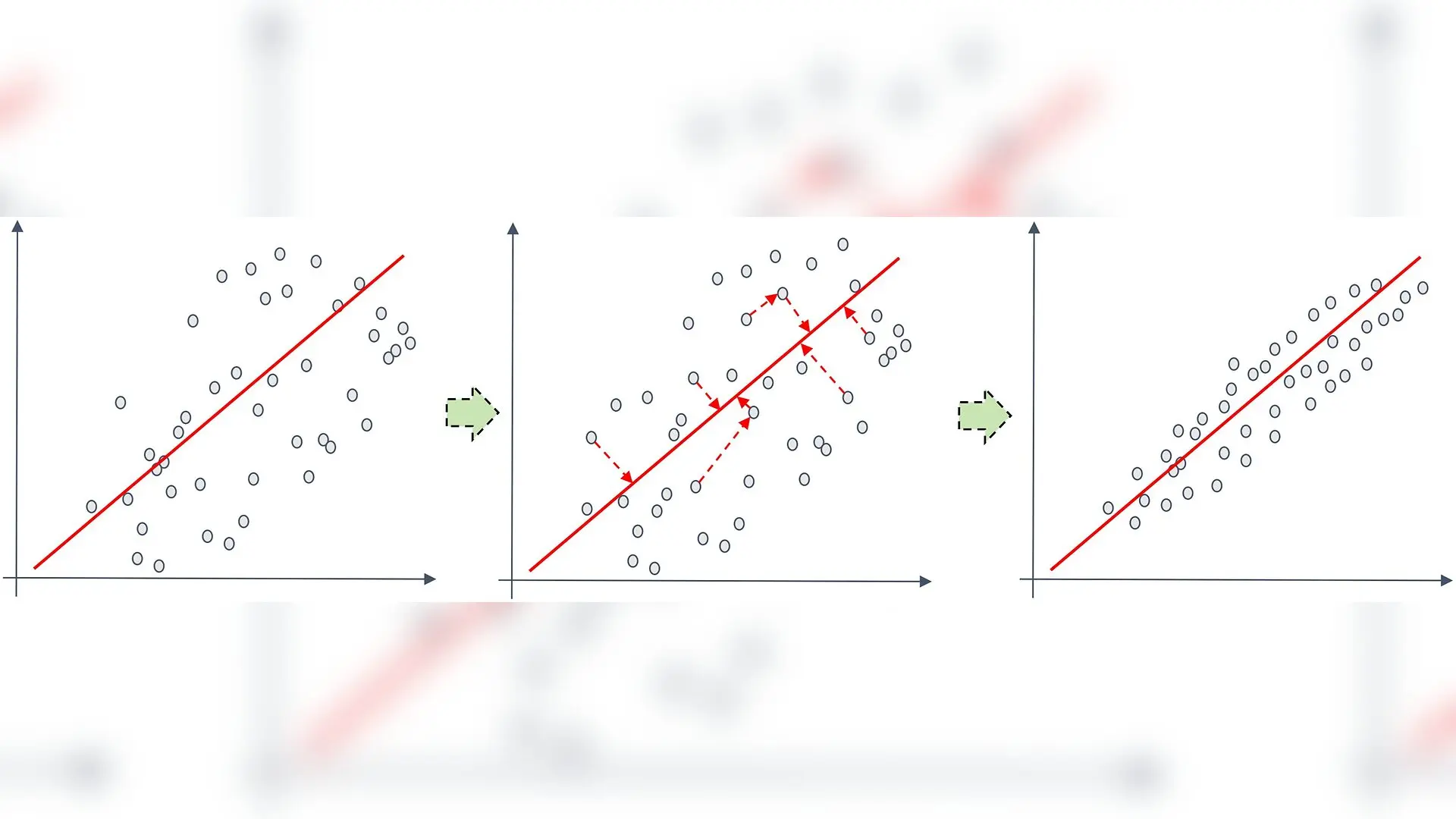
Predicting underground water levels from sparse field measurements is notoriously difficult, but a new computational framework is showing how weather data can fill in the missing puzzle pieces. Soil moisture acts as a vital bridge connecting the atmosphere, hydrosphere, biosphere, and lithosphere, directly participating in land surface energy exchange, water cycle processes, and vegetation growth regulation. However, in real-world scenarios, soil moisture series are often not ideal data that are regular, continuous, and stationary. Instead, they are influenced by multiple factors such as uneven observation intervals, complex environmental drivers, and the superposition of multi-scale variations, thereby exhibiting significant discreteness, non-stationarity, and dynamic coupling characteristics.
How Discontinuous Field Observations Complicate Hydrological Modeling
Underground water tracking usually suffers from irregular data collection intervals and sparse data labels. Precipitation, temperature, and radiation provide heterogeneous and time-varying information for soil moisture prediction, while directly treating these variables as undifferentiated inputs may limit the effective utilization of key driving information. Furthermore, soil moisture simultaneously contains short-term disturbances and longer-term temporal trends, making it difficult for a single-scale representation to adequately characterize both local fluctuations and overall temporal evolution.
To address these issues, the study is published in PLOS One by Aiju Li and colleagues, presenting a specialized forecasting design that avoids assuming an explicit governing physical model. Instead, the authors constructed a data-driven prediction framework integrating external driving modeling and dynamic state representation, which enhances the model’s ability to characterize soil moisture temporal variation using domain-informed meteorological and soil-depth inputs under the studied observation conditions.
Architectural Innovations for Adaptive Gating and Multi-Scale Fusion
The underlying architecture uses a backbone structure combined with selective state-space modeling. The first core innovation, called the Meteorological-Driven and Environmental-Factor Collaborative Gating module, uses a gating mechanism to dynamically screen key driving information. By jointly incorporating meteorological drivers and soil-depth information through this collaborative gating mechanism, the model adaptively enhances its responsiveness to non-stationary dynamic changes. When a certain atmospheric variation has a strong driving effect, its gating response moves closer to 1, whereas noisy or weakly related inputs see their gating values drift closer to 0.
To capture both rapid local disruptions and slow seasonal transitions, the researchers introduced a multi-scale feature rearrangement and progressive fusion mechanism. This module reorganizes features across different temporal receptive fields into parallel scale branches. Shallow scale branches provide local mutation and short-term response information, while deep scale branches provide smoothed trend and background accumulation information. This setup allows the framework to simultaneously account for rapid fluctuations caused by short-term rainfall events and the slow evolution of deep soil moisture over a longer time range.
Performance Benchmarks Across Five Distinct Soil Layers
The research team trained and evaluated their model using a public dataset collected from a north subtropical evergreen and deciduous broad-leaved mixed forest ecosystem in China between 2009 and 2016. Observations were recorded using Time Domain Reflectometry across five distinct depths of 10 cm, 20 cm, 30 cm, 40 cm, and 50 cm. Daily meteorological variables such as air temperature, dew point temperature, surface pressure, total precipitation, surface solar radiation, and wind components were extracted from ERA5-Land based on the geographic coordinates of the site.
The chronological dataset split yielded 115 training samples, 17 validation samples, and 33 test samples for each soil depth. Across five independent random seeds, the proposed method achieved an average mean absolute error of 0.00916 and a coefficient of determination $R^2$ of 0.94615, outperforming conventional architectures including Long Short-Term Memory networks, Bi-directional Long Short-Term Memory networks, and Transformer models. Ablation experiments confirmed that removing either the collaborative gating or the multi-scale fusion component led to measurable drops in predictive accuracy, demonstrating that both modules contribute complementary benefits to the final output.
Limitations and Future Environmental Sensing Directions
Despite the strong predictive performance observed at the study site, the authors noted several limitations regarding generalizability. Because the evaluation relies exclusively on point-scale observations from a single forest ecosystem, the reported findings do not establish cross-regional or cross-vegetation-type transferability. Future validation across different climatic regions, arid and semi-arid environments, and agricultural dryland systems will be necessary to test broader applicability.
Additionally, the authors emphasized that the framework remains fundamentally data-driven rather than derived directly from physical differential equations. Post-hoc interpretability analyses using Shapley Additive exPlanations revealed that meteorological variables such as dew point temperature, surface pressure, and solar radiation exhibit different predictive contributions across soil depths, but these statistical associations should not be interpreted as direct proof of causal soil-water physics without further independent hydrological validation.
The research was published in PLOS One on November 20, 2026.
This article has been fact checked for accuracy, with information verified against reputable sources. Learn more about us and our editorial process.
Last reviewed on .
Article history
- Latest version
Cite this page:
- Posted by Joseph Jackson