Curiosity Rover Uncovers Hidden Layered Rocks on Mount Sharp Revealing Mars’ Past Climate
Curiosity rover finds distinct rock bands on Mount Sharp, hinting at ancient environmental shifts as it climbs the Martian terrain.
The Curiosity rover continues its ascent up Mount Sharp, revealing a patchwork of rock layers that record shifting ancient environments on Mars. Recent sols (4920–4926) have taken the rover across dramatically different surfaces, each with its own color, texture, and structural features, offering scientists a chance to decode the planet’s geological past.
NASA Tracks Evolving Terrain on the Red Planet
NASA’s latest report describes Curiosity’s passage over a dark, rugged bedrock unit that was unsuitable for direct brushing. Instead, the team employed contact instruments such as the Alpha Particle X‑ray Spectrometer (APXS) and the Mars Hand Lens Imager (MAHLI) to study targets named “Salto La Cascada,” “Puerto de Rosas,” and “Santa Gracia.” These tools provided chemical signatures and close‑up imagery without disturbing the surface. Simultaneously, the ChemCam laser system probed both loose rocks and solid outcrops, mapping compositional variations across the stratigraphic bands.
By integrating microscopic imaging, elemental analysis, and remote laser spectroscopy, researchers are constructing a detailed picture of how each rock unit differs from its neighbors. While orbital data portray a relatively uniform slope, the rover’s close‑range observations uncover a complex mosaic that hints at long‑term environmental shifts influencing sediment buildup.
Mapping the Layered Facade of Mount Sharp
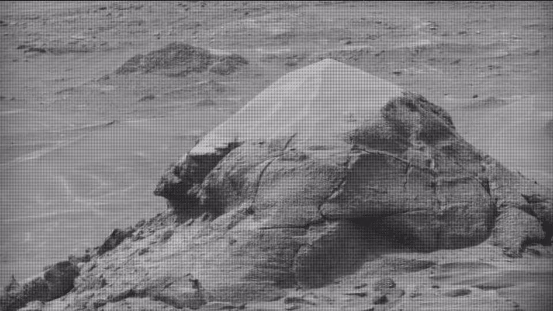
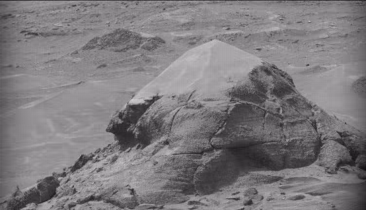
Further drives revealed a succession of distinct landforms—ridges, depressions, and stratified cliffs—alternating between dark and light shades. Features dubbed “Valle Grande,” “Kimsa Chata,” and “Miraflores” were captured in high‑resolution Mastcam mosaics that display fine layering and surface detail. One striking outcrop juxtaposed jagged dark rocks with patches of accumulated dust, a sign that wind continues to reshape the landscape.
Long‑range Mastcam shots also highlighted remote formations such as “Mishe Mokwa,” placing local observations within a broader geological framework. By distinguishing between site‑specific strata and regional transitions, the team gains insight into both ancient depositional processes and present‑day erosion shaping the Martian surface. Each traverse incrementally refines the picture of how Mount Sharp’s slopes were assembled over eons.
Overcoming Communication Gaps with Autonomous Operations
A brief interruption in data transmission limited the planning team’s ability to select fresh targets for one sol, forcing Curiosity to rely on pre‑programmed activities. In the absence of updated imagery, the rover completed a 360‑degree Mastcam panorama and gathered atmospheric data via the APXS and Navcam instruments.
The autonomous AEGIS system enabled ChemCam to continue laser spectroscopy without direct human input, preserving scientific output during the communication lull. This contingency underscores how Mars missions blend precise scheduling with on‑board adaptability to maintain productivity when Earth‑Mars links are momentarily unavailable.
Approaching a Lighter, Smoother Geological Layer
After the data‑delay episode, mission planners set their sights on a brighter, more even‑toned band lying ahead of the rover. Early assessments suggest this unit differs markedly from the previously examined rough terrain, potentially reflecting a change in sediment source or depositional conditions.
Advancing up Mount Sharp effectively provides a vertical cross‑section of Gale Crater’s history, with each stratum offering clues about past climate and water activity. Scientists anticipate that these new layers will sharpen models of how liquid water once sculpted the crater interior, turning the rover’s path into a natural laboratory for planetary evolution.
This article has been fact checked for accuracy, with information verified against reputable sources. Learn more about us and our editorial process.
Last reviewed on .
Article history
- Latest version
Reference(s)
- Carney, Stephen. “Curiosity Blog, Sols 4920-4926: Surveying the Bands - NASA Science.”, June 19, 2026 NASA <https://science.nasa.gov/blog/curiosity-blog-sols-4920-4926-surveying-the-bands/>.
Cite this page:
- Posted by Bilal Abbasi