Scientists Have Found a Way to See Hidden Rocks on Mars Without Digging
Researchers have developed an AI-powered technique using rock vibrations to detect buried obstacles, promising to revolutionize robotic exploration on Mars.
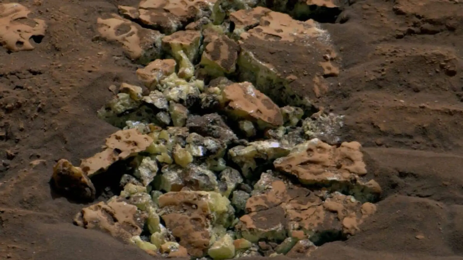
Engineers at Virginia Tech have developed a novel method that combines mechanical vibrations with artificial intelligence to map the subterranean profiles of rocks. This innovation aims to provide planetary rovers with a way to “feel” beneath the surface, potentially preventing costly equipment failures during excavation missions on the Moon or Mars.
The Hidden Risks of Extraterrestrial Excavation
For autonomous machines operating on distant worlds, a small rock protruding from the regolith can be deceptive. While visual sensors can easily measure the exposed portion of an obstacle, they cannot determine if the rock is a loose surface stone or the tip of a massive, deeply embedded boulder. For a rover tasked with site preparation or resource extraction, attempting to move an immovable object can lead to depleted batteries, snapped mechanical arms, or damaged tools—catastrophic outcomes in environments where human intervention is impossible.
Currently, site assessment is limited to surface-level data, such as elevation, terrain roughness, and visible obstacle height. Erik Komendera, an assistant professor of mechanical engineering at Virginia Tech and a former NASA Langley engineer, notes that robots lack the intuitive judgment humans use to navigate complex physical environments. The new technology aims to bridge this gap, enabling robots to perform their own site analysis before committing to high-energy tasks.
Decoding Vibrations with Neural Networks
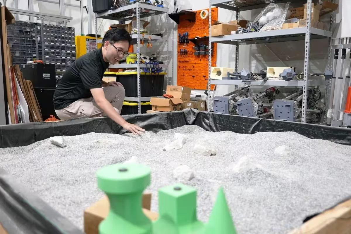
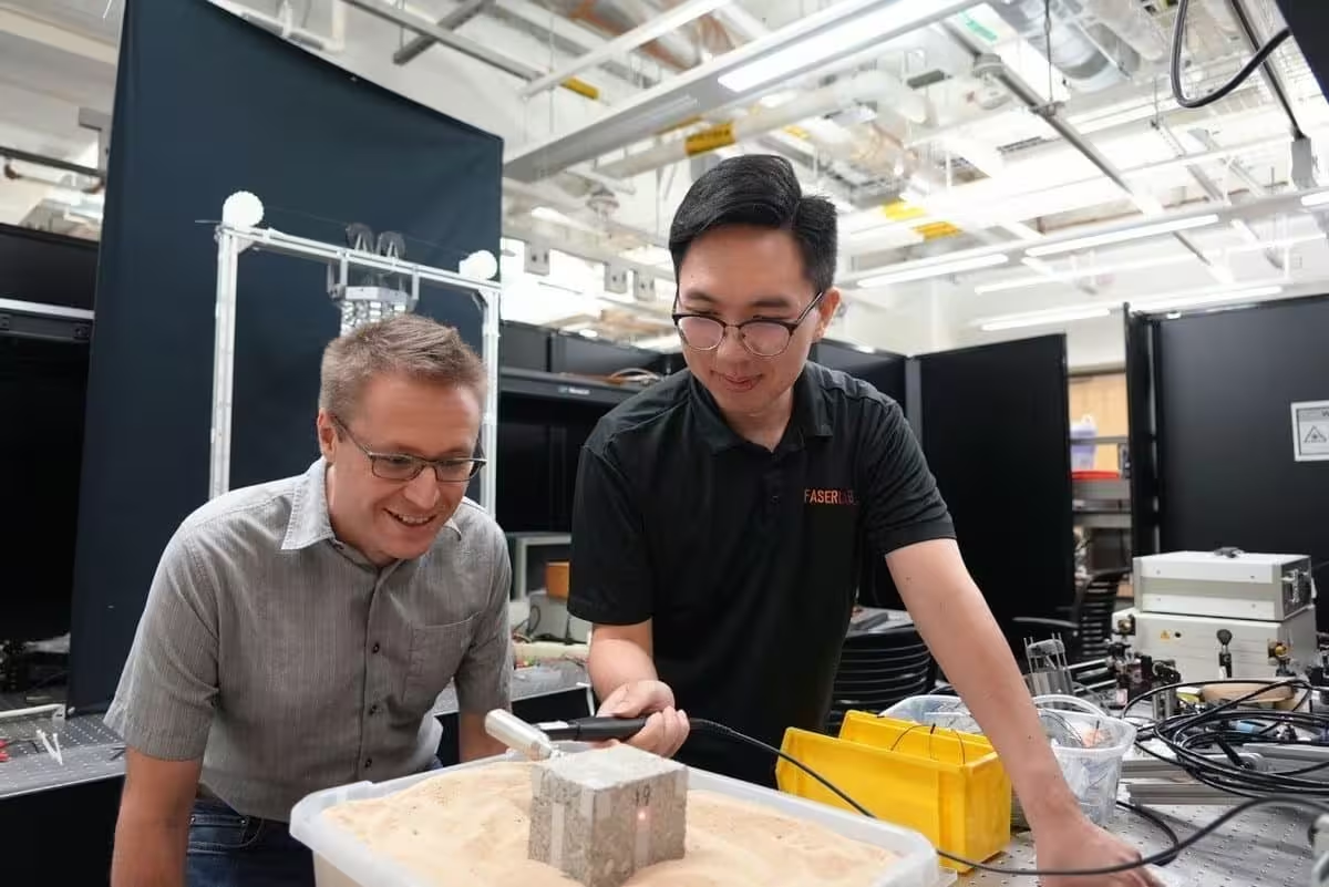
The research, published in the IEEE Sensors Journal, details an experimental setup where doctoral candidate Yiyan Ruan and Komendera tested 18 concrete blocks of varying shapes and sizes buried at different depths in a sand pit. By striking the exposed portion of the blocks with an instrumented hammer, the team triggered vibrations that resonated through the stone and into the surrounding material.
A scanning laser Doppler vibrometer was used to remotely track these vibrations, capturing the unique physical “signature” created by the interaction between the rock and the soil. Because a deeply buried object responds to impact differently than a shallow one, these signals served as a proxy for the total mass and depth of the obstacle.
To interpret these complex data sets, the researchers trained a neural network to correlate the vibration feedback with the object’s geometry and burial depth. A significant advantage of this approach is the efficiency of the model; by utilizing a compact network with only two hidden layers, the system remains light enough to potentially function within the strict computing and power limits of space exploration hardware.
Expanding Beyond Planetary Exploration
While the technique has shown promise in controlled sandbox conditions, the team acknowledges that real-world deployment on the Martian surface will require further refinement. Natural geological formations are far more irregular than concrete blocks, and soil compositions vary drastically, necessitating more robust datasets to account for these environmental variables.
Beyond its potential role in space missions, the researchers suggest the technology could have terrestrial applications in fields where non-invasive subterranean investigation is critical. Potential future use cases include assessing the stability of rock formations, identifying hazards in construction zones, or navigating disaster recovery sites where heavy machinery might inadvertently shift unstable ground.
This article has been fact checked for accuracy, with information verified against reputable sources. Learn more about us and our editorial process.
Last reviewed on .
Article history
- Latest version
Cite this page:
- Posted by Karan Das