Bizarre Geometric Patterns Spotted Near Bermuda Triangle Spark Debate Over Possible Lost City
Geometric patterns found in ocean mapping data near Cuba and Haiti have sparked claims of a lost human settlement, but are they truly man-made structures?
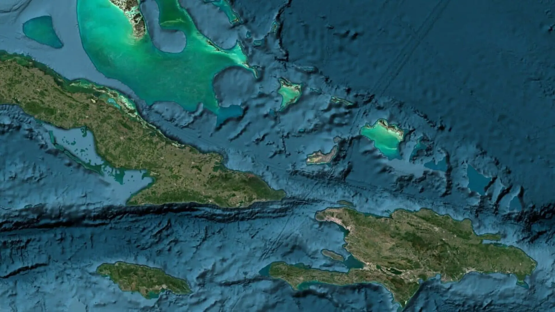
Intriguing geometric patterns identified in seafloor mapping data near the Caribbean have sparked speculation about a potential lost civilization, though experts warn that the shapes are likely artifacts of data processing rather than archaeological ruins. The site, located in the vicinity of the Bermuda Triangle between Cuba, Haiti, the Bahamas, and the Turks and Caicos Islands, was brought to public attention after digital researcher Scott Waring identified the formations while analyzing open-access ocean floor data.
Data Interpretation Versus Physical Discovery
Waring, who shared his findings via his UFO Sightings Daily platform, suggested the patterns span an area of approximately seven to eight miles by three miles. He speculated that the intersecting lines and shapes could represent an ancient, primitive human settlement that may have succumbed to geological activity, drawing comparisons to the mythical sunken city of Atlantis. However, these claims remain entirely speculative.
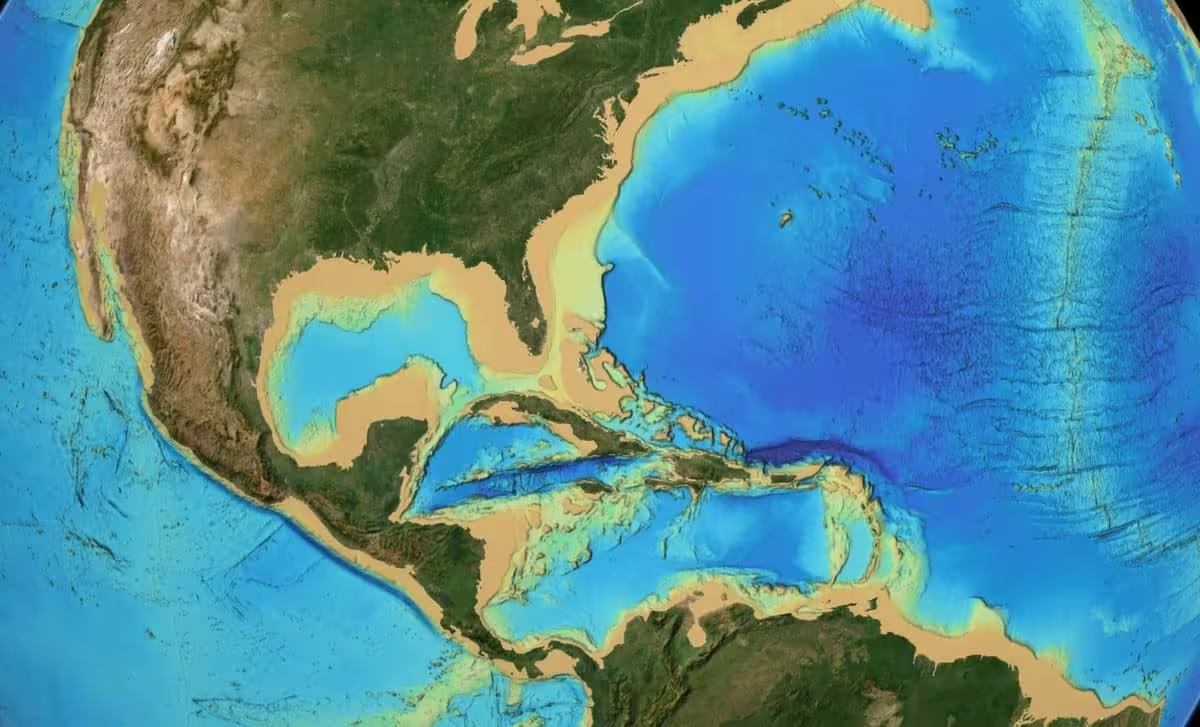
Geoscientists and cartographers emphasize that digital seafloor maps are complex amalgamations of sonar readings, satellite altimetry, and algorithmic estimates designed to fill gaps in coverage. These data-processing methods often introduce grid-like anomalies or linear artifacts that can mimic human-made structures when viewed from above. As noted in a recent report, there is currently no archaeological or geological evidence to suggest that an island or city ever existed at these coordinates.
The Scientific Reality of the Region
The suggestion that the location is connected to the Bermuda Triangle also lacks scientific backing. The National Oceanic and Atmospheric Administration (NOAA) has consistently stated that there is no statistical evidence to suggest that the Bermuda Triangle experiences a higher frequency of disappearances compared to other heavily traveled oceanic corridors. Incidents within the region are typically attributed to the intersection of volatile weather systems, complex ocean currents, shallow navigation hazards, and human error.
Validating such a discovery would require direct, empirical investigation, including high-resolution sonar imaging or physical exploration of the seabed to recover artifacts such as pottery, tools, or worked stone. Without such evidence, the findings currently circulating on social media remain purely anecdotal. While projects like Seabed 2030 are invaluable for mapping the ocean floor, they are tools for scientific exploration rather than proof of lost ancient urban centers.
This article has been fact checked for accuracy, with information verified against reputable sources. Learn more about us and our editorial process.
Last reviewed on .
Article history
- Latest version
Reference(s)
- Liberatore, Stacy. “Mysterious seven-mile 'sunken city' spotted near the Bermuda Triangle.”, September 7, 2026 Daily Mail <https://www.dailymail.com/sciencetech/article-16112327/sunken-city-bermuda-triangle-cuba-haiti.html?ns_mchannel=rss&ns_campaign=1490&ito=1490>.
- “Home — Seabed 2030.”, January 4, 2023 Seabed 2030 <https://seabed2030.org/>.
Cite this page:
- Posted by Vikram Desai