Hidden Reservoirs: Mapping Where Dangerous Bacteria Threaten Southern Chile Farms
Ecological niche modeling reveals that mixed agricultural landscapes and moderate temperatures create prime environmental conditions for Leptospira persistence.
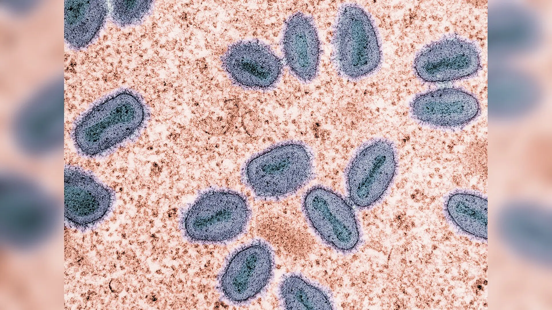
In the agricultural heartlands of southern Chile, thriving livestock operations and humid valley floors are quietly creating an ideal ecological refuge for a dangerous, shape-shifting bacterium. Researchers mapping the environmental drivers of leptospirosis across the Los Ríos and Los Lagos regions found that pathogen suitability peaks not in dense, undisturbed forests, but in the mixed croplands and pastures of the central valley.
Mapping Where the Pathogen Lurks in Southern Chile
Leptospirosis is a globally widespread zoonotic disease caused by spirochetes, which are spiral-shaped bacteria of the genus Leptospira. While mild infections cause flu-like symptoms, severe cases can trigger multiple organ failure, including renal and hepatic dysfunction. The global toll of the disease is massive, accounting for roughly one million human cases and nearly 59,000 deaths annually.
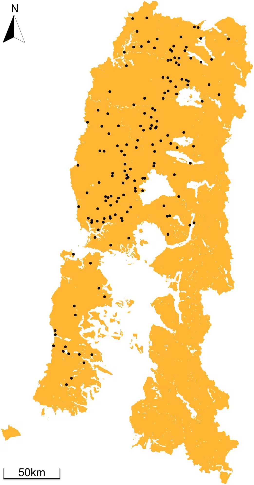
Although tropical and subtropical zones receive the bulk of research attention, temperate endemic regions remain comparatively neglected. To uncover what drives the environmental persistence of the bacteria in southern South America, a team of researchers analyzed 164 georeferenced presence records of Leptospira collected from rodents, cattle, and sheep. The details of their spatial analysis are published in PLOS Neglected Tropical Diseases.
Vegetation Productivity and Temperature Shape Suitability
The research team utilized an ecological niche modeling approach known as the maximum entropy algorithm, or MaxEnt, to project environmental suitability across a vast terrain bounded by the Pacific Ocean and the Andes Mountains. By examining variables such as land-use cover, soil moisture, temperature, and vegetation health, the authors evaluated what environmental conditions best support the pathogen.
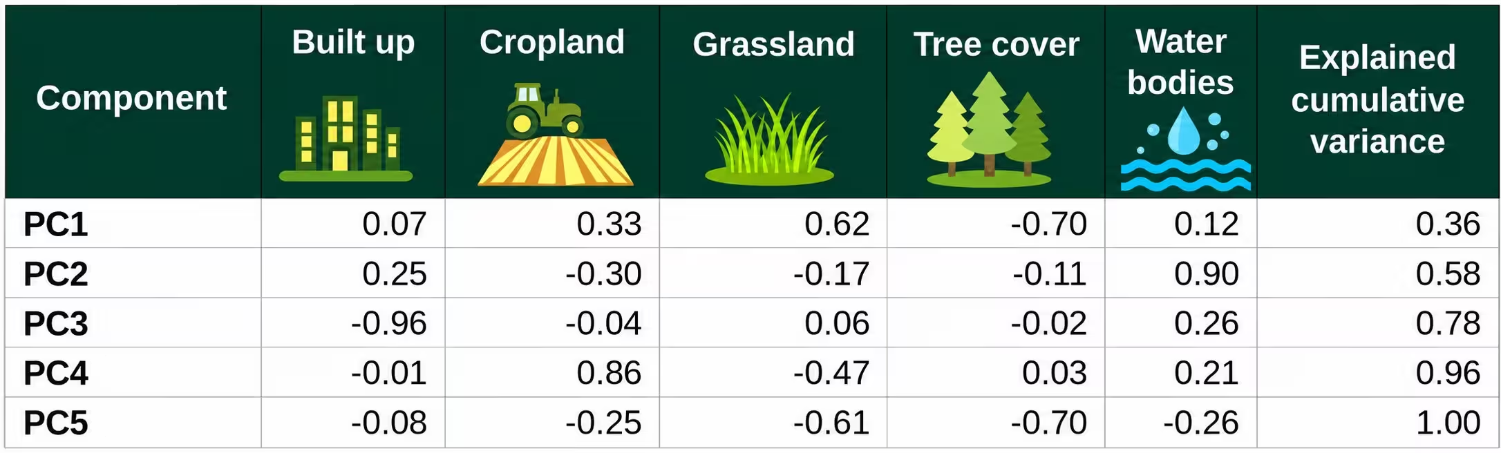
The analysis revealed that normalized difference vegetation index (NDVI), which measures vegetation greenness and productivity, exerted the strongest influence on the model at 33.90 percent contribution. This was closely followed by a principal component representing tree cover at 26.28 percent, and surface temperature at 25.43 percent. The response curves for these primary variables were unimodal, meaning environmental suitability peaked at optimal intermediate values rather than extreme highs or lows.
For instance, landscapes dominated strictly by dense tree cover showed the lowest environmental suitability, whereas mixed mosaics of cropland, grassland, and forest canopy created much more favorable conditions. Wetter environments and higher precipitation levels also increased suitability by helping the bacteria survive longer in moist soils and surface waters.
Why the Central Valley Stands Out as a High-Risk Zone
The resulting suitability maps demonstrated that favorable conditions for Leptospira span large portions of the study area, but the highest-risk hotspots concentrate heavily within the central valley. This zone features gentle terrain, intensive livestock farming, and a dense network of rural settlements where synanthropic rodents—such as the black rat and Norway rat—coexist with cattle, pigs, and humans.
Livestock production and agriculture heavily characterize this region, and previous local studies have documented high seroprevalence rates among domestic animals, including horses and cattle, alongside infected native and introduced rodent populations. When heavy rainfall events occur, surface runoff mobilizes the bacteria from contaminated soils into nearby watercourses, amplifying exposure risks for agricultural workers, veterinarians, and local communities.
The authors note several limitations in their work, including potential surveillance bias resulting from targeted livestock sampling and underreporting within public health registries. Consequently, the maps reflect baseline environmental suitability for pathogen presence rather than immediate outbreak predictions. Nevertheless, the findings provide a crucial spatial framework for targeting future environmental monitoring, veterinary vaccination campaigns, and rodent control efforts in vulnerable temperate zones.
The research was published in PLOS Neglected Tropical Diseases on November 20, 2026.
This article has been fact checked for accuracy, with information verified against reputable sources. Learn more about us and our editorial process.
Last reviewed on .
Article history
- Latest version
Reference(s)
- Flores-Ferrer, Alheli., et al. “Environmental suitability and high-risk hotspots of Leptospira spp. in southern Chile.” PLOS Neglected Tropical Diseases, vol. 20, no. 11, November 20, 2026, pp. e0014886 Public Library of Science (PLoS), doi: 10.1371/journal.pntd.0014886. <https://doi.org/10.1371/journal.pntd.0014886>.
Cite this page:
- Posted by Ali Farooqui