Walking to School in Barcelona Exposes Children to Double Safe Pollution Limits
Network modeling reveals that public transit acts as a protective shield against toxic urban air, challenging core assumptions of the 15-minute city.
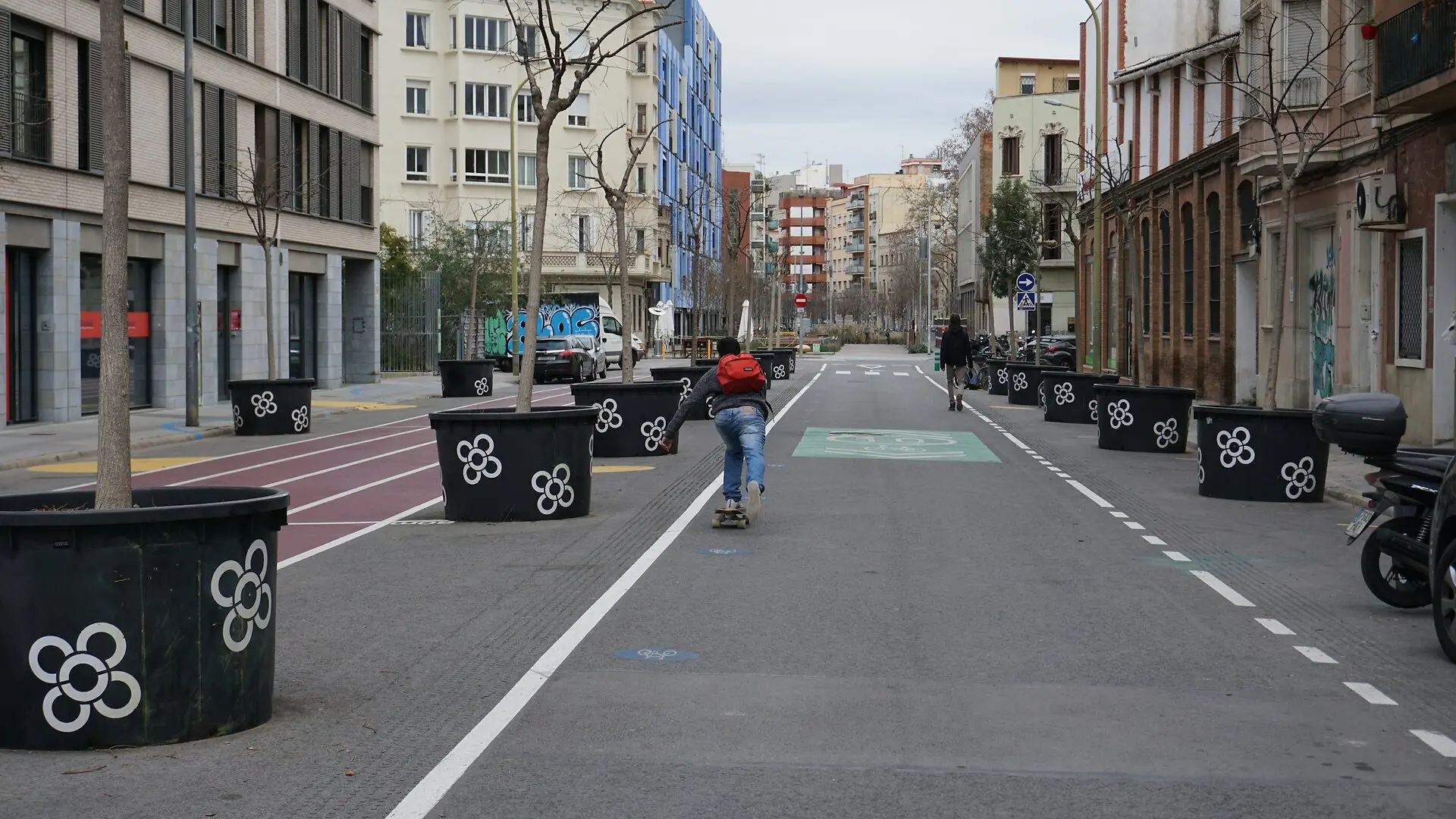
Walking to school in Barcelona frequently exposes children to air pollution levels that exceed World Health Organization safety guidelines by more than double, according to a spatial study mapping daily commutes. The investigation highlights a hidden flaw in modern urban planning by demonstrating that living close to educational facilities does not automatically protect young pedestrians from breathing toxic exhaust along busy traffic corridors.
To evaluate these real-world health risks across the city, researchers constructed a high-resolution network model linking child populations and school locations across 1,068 census tracts. The team integrated digital elevation data, pedestrian walking speeds set at an average of 3.6 kilometers per hour for children, and public transit schedules to calculate exact travel times and exposure pathways. They measured both the cumulative inhaled dose of pollutants and the total duration spent in zones exceeding recommended limits. The methodology and findings are detailed in a study published in Re-Generation in Transport.
How Walking Commutes Expose Children to High Pollutant Doses
Urban air pollution, particularly fine particulate matter known as PM2.5 and nitrogen dioxide denoted as NO2, poses severe respiratory and cognitive risks to urban residents. Children are especially vulnerable to these airborne toxins due to their higher breathing rates and lower physical stature, which places them closer to vehicle exhaust pipes. Traditional health assessments usually rely on static residential addresses, which fail to capture the actual pollution doses accumulated while moving through heavy traffic corridors.
The analysis revealed that walking-only school commutes inside the 15-minute city framework result in an average cumulative PM2.5 dose of 135.5 micrograms per cubic meter minute, exceeding safe thresholds by 2.71 times. For nitrogen dioxide, the average dose reached 256 micrograms per cubic meter minute, surpassing the safety limit by 2.56 times. On average, young pedestrians spent 10 minutes of their journey breathing air that breached safety standards. These numbers show that active travel, while beneficial for physical fitness, forces children to inhale significant amounts of urban pollutants during peak morning traffic hours.
Why Public Transport Acts As a Protective Shield
Switching from walking-only trips to multimodal public transport routes substantially reduced the overall pollution burden for students. While transit journeys still involve unshielded walking segments to and from stations and waiting periods at bus stops, the time spent directly exposed to high-emission corridors drops sharply. Public transit commutes reduced the average cumulative PM2.5 dose to 81 micrograms per cubic meter minute and nitrogen dioxide to 154 micrograms per cubic meter minute, cutting harmful exposure time down to 6 minutes.
The urban rail and bus network functions as an effective protective layer across most central districts where transit frequency is high. However, peripheral zones showed persistent vulnerabilities because of gaps in public transport coverage, forcing families in those areas to rely more heavily on longer walking paths along polluted arterial roads. The data points to spatial inequalities across Barcelona, identifying high-risk hotspots where high child density overlaps with severe traffic emissions, particularly in northeastern districts like Horta-Guinardó, Nou Barris, and Sant Andreu, alongside the southwestern neighborhood of El Raval.
What Are the Limitations of Proximity-Based Urban Planning
The findings challenge the core assumption of the 15-minute city concept, which posits that placing essential services within a short walk guarantees a healthier lifestyle. The authors note that proximity alone is insufficient if the intervening pedestrian pathways suffer from severe environmental degradation. Implementing clean-air corridors, expanding green buffers, and installing protective tree canopies along common school routes can help mitigate these risks. Furthermore, neighborhoods where municipal superblock traffic-calming models have already been established displayed noticeably reduced travel times and lower pollution exposure.
Several methodological boundaries should be considered when interpreting the results. The analysis relied on official annual average concentrations rather than real-time hourly tracking, because temporally disaggregated street-level pollution data remains unavailable at this scale. In addition, the study assumed uniform child population distributions across travel modes due to a lack of individual GPS mobility diaries. Future research incorporating detailed travel surveys and time-resolved emissions monitoring will help refine mode-specific exposure estimates and guide equitable urban design.
The research was published in Re-Generation in Transport on January 1, 2027.
This article has been fact checked for accuracy, with information verified against reputable sources. Learn more about us and our editorial process.
Last reviewed on .
Article history
- Latest version
Reference(s)
- Rezende, Gabriel Henrique Carvalho., et al. “Modelling Urban Air Pollution Exposure Across Travel Modes Using High-Resolution Emissions and Mobility Data.” Lecture Notes in Mobility, October 29, 2026, pp. 389-396. Springer Nature Switzerland, doi: 10.1007/978-3-032-37192-8_46. <https://doi.org/10.1007/978-3-032-37192-8_46>.
Cite this page:
- Posted by Raj Joshi