How a 2016 Antarctic Ice Model Upended Global Sea-Level Projections
A landmark computer simulation revealed how hidden ice physics could trigger rapid continental collapse, reshaping decades of coastal risk planning.
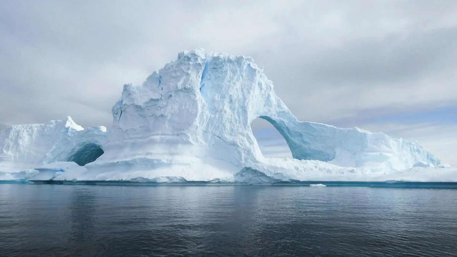
A single scientific computer model published a decade ago dramatically altered how researchers calculate the future collapse of the world’s largest ice mass and the coastal floods that could follow. That 2016 computer simulation suggested that the Antarctic Ice Sheet could melt fast enough to push global oceans up by more than two meters by the year 2100 under high greenhouse gas emissions. While subsequent re-analyses and improved physical models have since tempered those most extreme projections, the study permanently transformed coastal risk assessments worldwide.
The research, authored by Robert DeConto and David Pollard, was published in the Journal of Risk Research within a broader context of evaluating climate hazards. At the time of its release, standard computer models struggled to explain how global sea levels could have been ten to twenty meters higher than today during ancient warm geological periods, such as the Pliocene around three million years ago. Standard simulations indicated that Antarctica was stable, creating a glaring contradiction between geological history and computer forecasts known in the scientific community as the paleoclimate puzzle.
How New Ice Physics Changed Continental Computations
To solve this discrepancy, DeConto and Pollard updated a continental-scale computer model of the Antarctic Ice Sheet by introducing two destructive physical mechanisms that previous researchers had left out. The first mechanism, called hydrofracturing, occurs when pools of summer meltwater gather on the surface of floating ice shelves, forcing open deep cracks that eventually shatter the ice structures. The second mechanism, known as Marine Ice Cliff Instability, happens when the sudden destruction of an ice shelf leaves behind towering vertical cliffs of ice that are too mechanically weak to support their own weight, causing them to collapse in rapid succession.
By programming these two processes into their software, the authors successfully reproduced the high sea levels found in ancient geological records. When they applied the same augmented model to future climate scenarios, the numbers leaped far beyond earlier predictions from the Intergovernmental Panel on Climate Change. Under a high-emission trajectory, their model projected that the melting of Antarctica alone could add between 93 and 243 centimeters to global sea levels by 2100. This single ice contribution matched the total upper bound that previous international reports had estimated for all global ice sources combined.
Why Subsequent Research Challenged the Extreme Projections
The bold numbers generated an immediate surge of citations, totaling about 2,400 mentions by early 2026, and forced coastal planners to prepare for much higher flood risks. However, other scientists quickly pointed out important limitations in the original setup. The computer simulation relied on a relatively small batch of sixty-four runs and used simplified approximations for cliff collapses that could not be directly observed in the modern world.
In 2019, a larger team led by Edwards conducted a much broader sensitivity analysis running 10,000 distinct ensemble simulations. Their findings indicated that the dramatic cliff instability mechanism was not actually required to match past sea levels, and that without it, the most likely Antarctic contribution by 2100 under high emissions would sit closer to 45 centimeters. More recent studies by Morlighem and colleagues, which used more physically grounded representations of ice fracture across three independent models, further suggested that natural stabilising factors like ice thinning could prevent runaway cliff collapse in this century.
What These Evolving Projections Mean for Coastal Infrastructure
Rather than disproving the 2016 study, this subsequent scientific scrutiny refined how researchers approach extreme tail-end risks. Major international climate assessments responded by adopting a two-track approach, presenting moderate consensus estimates alongside low-confidence scenarios that still allow for the possibility of rapid Antarctic disintegration. This duality forces civil engineers and urban planners to design coastal defences for a wide and deeply uncertain spectrum of future water levels.
Translating these global numbers into local realities remains a complex challenge for vulnerable shoreline communities. Local factors such as the slow vertical rebound of the land from ancient ice sheets, known as glacial isostatic adjustment, and shifting ocean currents mean that regional sea-level rise can deviate significantly from the global average. As researchers await the upcoming Intergovernmental Assessment reports, the 2016 study stands as a defining moment in climate science, demonstrating both how rapidly risk models can evolve and how difficult it is to project complex natural systems when direct real-world validation is out of reach.
The research was published in Six Decades of Risk Research on January 1, 2027.
This article has been fact checked for accuracy, with information verified against reputable sources. Learn more about us and our editorial process.
Last reviewed on .
Article history
- Latest version
Reference(s)
- Brévière, Emilie., et al. “Revisiting DeConto & Pollard (2016)—Contribution of Antarctica to Past and Future Sea-Level Rise.” Civil Protection, Disaster Management, and Resilience, November 3, 2026, pp. 400-409. Springer Nature Switzerland, doi: 10.1007/978-3-032-30515-2_41. <https://doi.org/10.1007/978-3-032-30515-2_41>.
Cite this page:
- Posted by Rabia Shah